fbpx

Field Notes


BREAKING: Governor’s task force recommendations shape improved public lands management in newly released Rock Springs plan

BREAKING: task force recommendations shape newly released Rock Springs plan

August 22, 2024 – Today, the Bureau of Land Management released its proposed Rock Springs Resource Management Plan, outlining management direction for almost 3.6 million acres of public lands in southwest Wyoming. The proposed plan clearly reflects and incorporates feedback from tens of thousands of public comments and input from local stakeholders, including the task force Gov. Mark Gordon convened in late 2023.

The Wyoming Outdoor Council and Wyoming Wilderness Association both served on the governor’s task force alongside representatives with interests in oil and gas, grazing, energy production, motorized recreation, sportsmen groups, and trona industry. The task force also included elected officials from communities in Sweetwater County as well as the Speaker of the House and President of the Senate for the Wyoming Legislature. This group developed more than 100 consensus-based recommendations, supported by all stakeholders, to improve the plan and delivered these recommendations to the BLM during the agency’s public comment period.

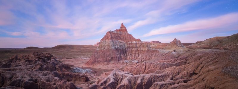
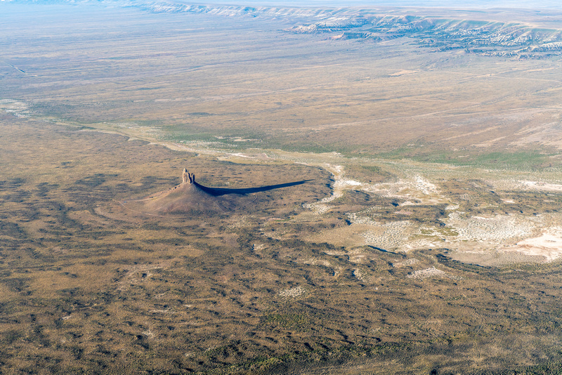
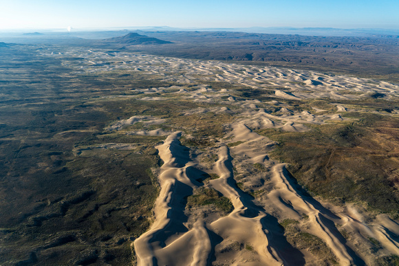
The BLM took the task force’s consensus-based comments seriously. The proposed Rock Springs Resource Management Plan reflects task force recommendations including maintaining access for the local trona mining industry, retaining the OHV play area in parts of the Killpecker Sand Dunes, and protecting the unique natural and cultural values of Boar’s Tusk.

In response to the plan’s release, WOC and WWA issued the following statements:

“We’re pleased to see the BLM incorporated public feedback and input from Gov. Gordon’s task force into a plan that serves local communities, iconic landscapes, and wildlife,” said Alec Underwood, program director for the Wyoming Outdoor Council. “Among other important agreements, the task force reached consensus on the need to protect gold-standard habitat and other significant natural values in the Big Sandy Foothills and Northern Red Desert, such as Boar’s Tusk. It’s encouraging to see the BLM’s responsiveness, as well as the agency’s efforts to build on the task force’s strong foundation where agreement wasn’t reached, as they did for the Big Sandy Foothills. While the plan could be improved — protections for the iconic big game migration corridors in the region, for example, fall short of the mark — we appreciate that the agency worked diligently to ensure that updated management direction will conserve some of our country’s best remaining wildlife habitat, while also maintaining all of the unique recreational opportunities found within the field office.”

“It is a testament to the dedication of all who love and care for the lands within the Rock Springs Field Office that the proposed plan includes some robust, durable, and reasonable conservation measures for the Northern Red Desert and Big Sandy Foothills. We applaud the BLM for making the hard decisions necessary to ensure these wild and working landscapes continue to thrive for future generations to use and enjoy,” said Lauren Marsh, BLM program manager for Wyoming Wilderness Association. “We are, however, disappointed that some key provisions in the draft RMP were not carried forward in the proposed plan, namely recognizing Lands with Wilderness Characteristics (LWCs) and important protections for the hoodoo-studded wildlands surrounding Adobe Town. Nevertheless, we appreciate the willingness of the BLM to take to heart the concerns of local Wyoming residents as expressed through public comment and recommendations from Governor Gordon’s task force. What you see reflected in the plan for the northern portion of the Field Office — and taskforce recommendations — is how much Wyomingites value wildlife and the wildlands that support them, even under the demands of a largely extraction-based economy.”

The issuance of the Proposed Resource Management Plan and Final Environmental Impact Statement initiates a 30-day public protest period and 60-day governor’s consistency review. The agency will finalize the plan after resolving issues raised in these processes.

For more information, contact:

Carl Fisher, Executive Director, Wyoming Outdoor Council, (801) 910-7487,
carl@wyomingoutdoorcouncil.org

Lauren Marsh, BLM Program Manager, Wyoming Wilderness Association, (205) 807-4783, lauren@wildwyo.org

Max Owens, Communications Manager, Wyoming Outdoor Council, (307) 488-3451, max@wyomingoutdoorcouncil.org

Field Notes


Story Behind the Photo: ROSE FRY

WOC’s 2025 Calendar Contest is live! Join Rose and other photographers by submitting your photos of Wyoming’s lands, wildlife, and people. You can enter your photos via Instagram or email. To submit your photo(s) via Instagram, you must have a public Instagram account so that we’re able to view your submission. Upload your photo(s) and add the hashtag #OurWyoming.

To submit your photo(s) via email, send your photo(s) to max@wyomingoutdoorcouncil.org. For more information about the contest, visit our calendar contest page.


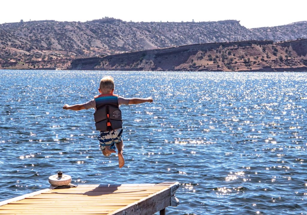
A fearless leap. Arms stretched wide and feet tucked beneath, in defiance of gravity. One soaring, weightless moment — before meeting the sparkling waters below.

Rose Fry’s photo of a young swimmer jumping off a dock at Alcova Reservoir perfectly captures the exuberance and simple joy of summer. If you’re keeping up with your Wyoming Outdoor Council calendar, you’ve seen this photo gracing the month of August. This is the month of unrelenting heat, the dog days of summer, when nothing is more enticing than a dip in cool water. This is the season when Wyoming families like Rose’s are drawn to water — whether at Alcova, chilly alpine lakes, or the many streams and rivers that wend their way across the state.

A boy jumps off a dock into the blue waters of a lake with vegetated hills in the background
Image: Rose Fry

The young swimmer in Rose’s photo is her grandson, Maddocks. While the image captures a single, delighted moment (you can almost feel Maddocks’s shock upon plunging into the water), for Rose, it evokes a deep, generational history: Her memories, and photographs, chronicle a lifetime spent enjoying Wyoming’s outdoors with her family.

Born in Gillette but raised in Caser, Rose’s adventures outside began with frequent trips to the high country. “Growing up, our family had a small little cabin up in the Bighorns, kind of out in the boonies,” she says. “We went up there all the time, and we would fish and run around, and we sure enjoyed it.”

Rose has been visiting Alcova Reservoir on warm summer days since she was a child. Later, when she and her husband had started their own family, she passed along her love of the outdoors to her three daughters. And now, she enjoys sharing days at Alcova with her grandchildren, who often come up to visit from Colorado.

It feels special, Rose says, to leave cell service and other distractions behind, and just enjoy the fun of being outside together, with people you love. The day she snapped the photo that ended up in the calendar, the whole family had taken leap after leap off the dock — sometimes holding hands, sometimes aiming to land on an inflatable unicorn, which the kids had playfully nicknamed Susie. “It was just the most fun,” Rose says. “We were just having a ball together.”

Capturing Wyoming’s magic through the viewfinder

For Rose, a longtime hobbyist photographer, capturing images is all about seeking out special moments — and being prepared when they arrive. “The number one rule in photography is to be there. If you’re not there, you’re not going to get the photo,” she says.

Rose’s photography runs the gamut, from images of family, landscapes, and wildlife, to the occasional photoshoot for graduating seniors. After 27 years working for the Wyoming Department of Family Services and Child Protection, Rose recently retired — which means more time to adventure and focus on her photography. Most recently, she supported a bike ride across the Sierra Madres and Snowy Range as part of the annual Tour de Wyoming. (Her sister is the tour’s director, and Rose always enjoys the chance to help her out — and snap plenty of photos!)

While the Sierra Madres and Snowies provide close-to-home photo magic, Rose travels to Yellowstone several times a year to explore the park with a group of photographer friends. It was there, on a snowcoach photography trip, that she experienced one of her favorite moments behind the camera. The group of photographers came upon the Wapiti Lake wolf pack, a group of 18 wolves. For hours, through their telephoto lenses, the photographers watched the wolves play. “After that, I was on a high for a week,” Rose laughs. “It was just amazing.”

But, she added, there’s so much more to nature photography than the large and charismatic mammals that people tend to focus on. From small critters, to birds, to the many overlooked subjects in between, the opportunities to capture beautiful images are boundless, once you start looking for them.

“I have so much fun taking my photos,” Rose says, “but even better is being able to share them with others.”

This year’s contest: Celebrating Wyoming “roots”

If you’d like to share your own Wyoming photos, now’s your chance! Join Rose and other photographers by submitting your shots to the Wyoming Outdoor Council’s calendar contest. In this year’s contest, we’re looking for photos that explore what it means to be “rooted” in Wyoming.

Perhaps, like Rose, your Wyoming “roots” are the multiple generations of family members that have found significance in Wyoming’s outdoors. Or maybe your roots involve a connection to Wyoming’s abundant wildlife, or to a landscape you hold dear. Whatever being rooted in this wonderfully diverse state means to you, we’re looking forward to your help in telling the story of “Our Wyoming,” our ongoing calendar contest theme.

Selected photographers will have their work printed in the 2025 calendar, receive a cash prize, and have their winning photos displayed in an exhibit — exhibit details coming soon.

Photos may be submitted via Instagram or email. To submit via Instagram, simply add the hashtag #OurWyoming. You must have a public account, so that we’re able to view your submission. To submit via email, send your photos to max@wyomingoutdoorcouncil.org.

Learn more and view all terms and conditions here. Happy photographing!

Field Notes


THE 2025 CALENDAR CONTEST IS OPEN!

Now open: Submit your photos to our 2025 Calendar Contest!

Each year, the Wyoming Outdoor Council hosts a photography contest to celebrate our enduring theme, “Our Wyoming.” Winning photos will be printed in our 2025 calendar, and photographers who have their work selected will win a cash prize — and have the chance to display their photos in an exhibit.


In the sparse forest beneath Wyoming’s windswept slopes, the whitebark pine ekes out a difficult, and amazing, existence. Gale-force winter winds blast the tree with snow and ice; summer heat steals away its moisture. Growing seasons are short, and especially near treeline, it grows no higher than a gnarled and stunted shrub.

Despite these challenges, the whitebark pine plays a critical role in mountain ecosystems. Its large, protein-rich seeds are a valuable food source for a range of animals, from grizzly bears to squirrels to Clark’s nutcrackers — and also are a traditional food source for Indigenous people.

But perhaps the tree’s most important attributes are its roots: fast-growing, sturdy, and clinging tightly to existence, these roots stabilize thin and rocky high-elevation soils, allowing entire communities of plants and animals to persist in a harsh environment. In a way, the whitebark pine’s roots are the foundation upon which many a beloved Wyoming landscape is built.

Encapsulating the importance of close relationships with the landscape and other living beings, the roots of the whitebark pine are a symbol of “Our Wyoming,” the calendar contest’s enduring theme.

At the Wyoming Outdoor Council, we’ve lately been considering what it means to be rooted — rooted in place, rooted in our mission, and, above all, rooted in community. Just a few short months ago, we moved our Lander headquarters from a dark and cramped office to a beautiful, energy efficient, and welcoming building. Rather than a place for our advocates to conduct their work in isolation, the vision for our new campus is a collaborative space where community members and local organizations feel welcome to gather. In this way, this transition was about more than simply moving from one spot to another. It was about digging in, and deepening our roots in our Wyoming community.

In this year’s contest, we invite you to help us strengthen the story of Our Wyoming by sharing photos that explore what it means to be “rooted.” What is the root of our care for Wyoming? How do strong roots sustain us, and allow us to grow? How might we send our roots deeper, building vital connections with Wyoming’s lands, wildlife, waters, and the people who depend on them?

Whether your roots involve a landscape you hold dear, a connection to Wyoming’s free-roaming wildlife, the ancestors who have called this land home for millennia, the children who will carry our conservation legacy forward, or the communities we depend on to survive and thrive, we are excited to see your wonderful photo submissions! (While we love images of beautiful landscapes and wildlife, we’re also always seeking photos that show people enjoying all that Wyoming has to offer.)

This year’s contest is open from July 1, to September 2, 2024. You can submit your photos either via email (max@wyomingoutdoorcouncil.org) or Instagram, by using the hashtag #OurWyoming.

Photographers who have their work selected will win a modest cash prize. Additionally, we’re thrilled to bring back a special event that we kicked off with last year’s contest: an exhibit to display winning photos and honorable mentions! Stay tuned for an announcement about an exciting new exhibit host.

For more details, see the terms and conditions below. Good luck — we can’t wait to celebrate all the ways you’re rooted in Wyoming.

TERMS & CONDITIONS

Entries must be submitted between July 1, 2024, and before midnight on September 2, 2024, either via email (addressed to max@wyomingoutdoorcouncil.org with “2025 Calendar Contest” in the subject line) or Instagram, using the hashtag #OurWyoming. By entering, all contestants agree to release their photo to the Wyoming Outdoor Council for publication in our calendar and supporting social media. The Outdoor Council, along with a guest judge, will select the winning photos, which will be published in the 2025 calendar. Selected artists whose photos are included in the calendar, and honorable mentions, will receive a modest cash award. All photographers chosen to be in the calendar and honorable mentions will also have their work displayed in an exhibit — details to come. WOC will be responsible for the printing and display of work at no cost to artists. All submitted photos are subject to use both in the calendar and the exhibit; however, if you would not like to participate in the exhibit, please email max@wyomingoutdoorcouncil.org.
Your entry to the contest constitutes your agreement to allow your entered photographs, as well as your name and the place the photograph was taken, to be published in the Wyoming Outdoor Council’s 2025 calendar and on the Outdoor Council’s website, in emails, and social media channels to promote the annual photo contest. It also constitutes your agreement to allow your winning photograph to be displayed in the post-contest exhibit unless otherwise communicated. Reproduction of entries will include the necessary photographer credit. Contest entrants retain ownership and all other rights to future use of the photographs they enter. Use of the entered photos in any other fashion or in any other publications will only occur with permission from the entrant.

Field Notes


STAFF FAVORITES: CELEBRATING SUMMER ON WYOMING’S PUBLIC LANDS

Staff Favorites: Celebrating Summer on Wyoming’s Public Lands

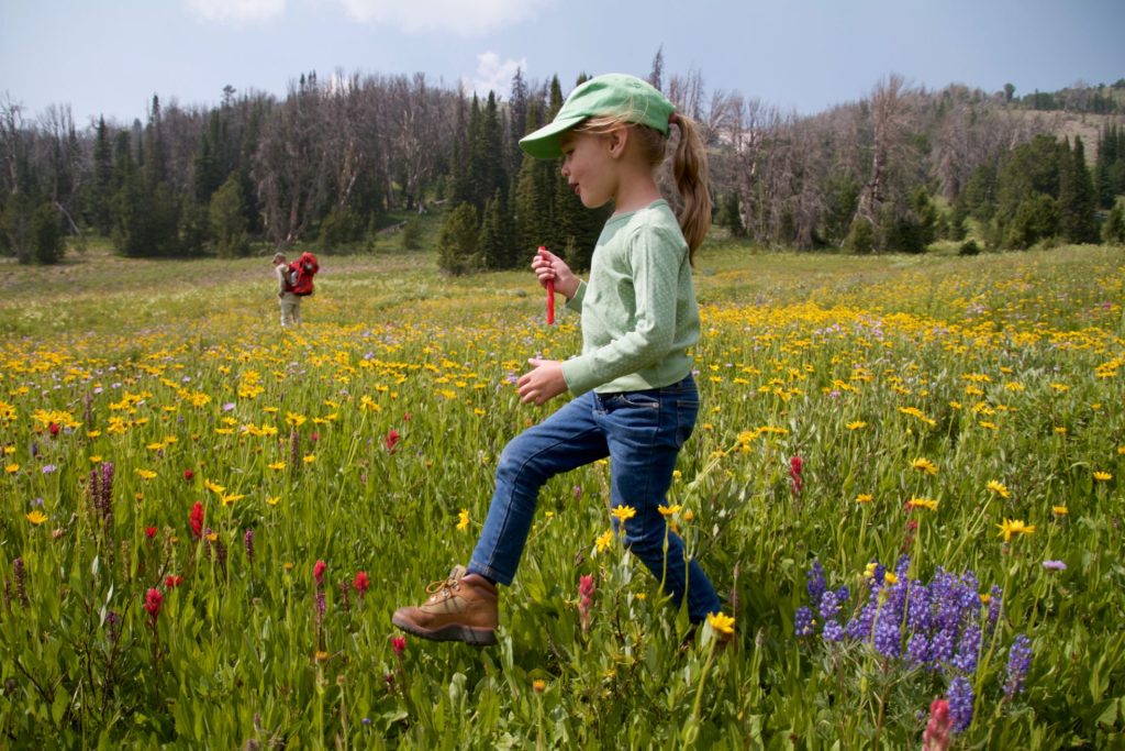
Summer is here — and if you’re like us, the shift in seasons means it’s time for blissful days on the water, solitude in the high country, hikes through wildflower-blanketed meadows, and otherwise enjoying all that Wyoming’s public lands have to offer this time of year.

Fortunately, with public lands encompassing over half of Wyoming, you don’t have to look far to find your new favorite summertime spot. From way-out-there wilderness to easily accessible trails, crags, and waterways, the possibilities are endless. We asked our staff to share some of their favorite summer destinations across the state, to inspire you to get out there and celebrate Wyoming’s legacy of protected wildlands. Whether your adventures take you to old favorites or new ones, to the public lands in your backyard or further afield, happy summertime exploring!

EXPLORING THE WIND RIVER RANGE

Era Aranow, government affairs manager

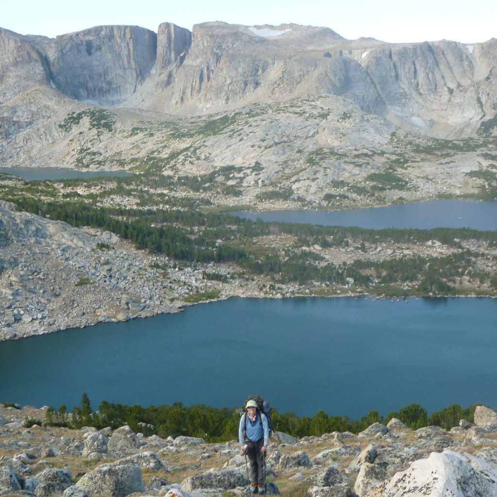
Rugged cirques, rolling meadows, and stunning alpine lakes: the Winds have it all. (Including notorious mosquitoes … If you plan an early-season trip, come prepared!) For Era, choosing a single “favorite” destination does a disservice to this vast and diverse range — it’s the exploration that’s meaningful.

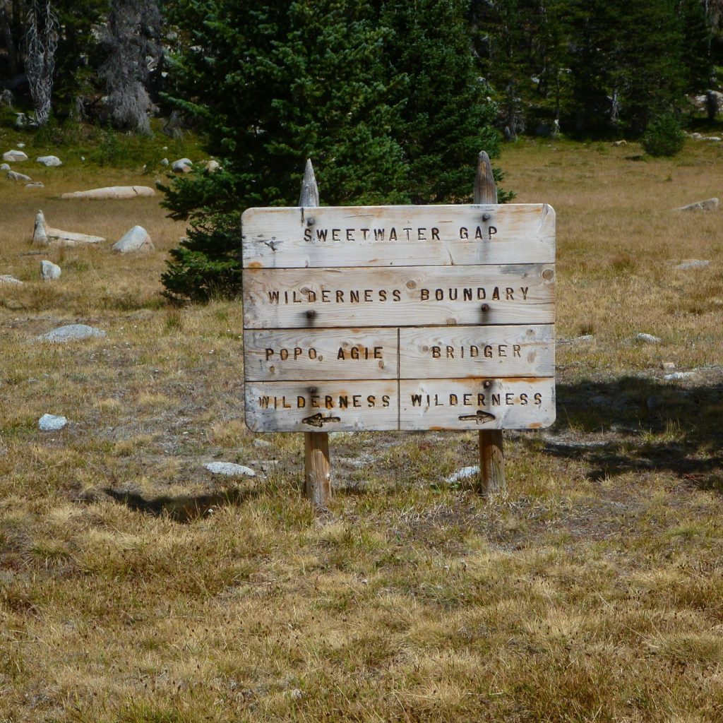
Fortunately, explorers have plenty of options to choose from. The range falls within two national forests (Bridger-Teton on the west side and Shoshone National Forest on the east) which encompass three wilderness areas. “It’s always a special feeling to pass that wooden sign and cross into the wilderness,” Era says.

In addition to the Bridger, Popo Agie, and Fitzpatrick Wildernesses, a part of the range’s eastern slope is protected by the Wind River Indian Reservation. In fact, the Eastern Shoshone and Northern Arapaho Tribes designated the Wind River Roadless Area to prohibit development on 188,000 acres of the Wind River Range in the late 1930s — nearly 30 years before the passage of the 1964 Wilderness Act.

Casting a line in the Wiggins Fork

John Burrows, climate and energy policy director

When the temperatures start to climb, it’s time to escape the lowlands and head to the mountains. “I’ll head up to Double Cabin Campground on the Wiggins Fork in Shoshone National Forest to cool off in the July heat,” John says. “It’s a great place to cast a line and a good starting point to explore the Absarokas.”

Just north of Dubois, this section of Shoshone National Forest holds plenty of opportunities, whether you’re looking to fish, boat, day hike, or backpack deep into the Washakie Wilderness.

Did you know? The Shoshone National Forest has roots as the oldest federally protected forest in the country. Its precursor was the nation’s first “forest reserve,” the 1.2 million-acre Yellowstone Park Timberland Reserve, which was designated in 1891 — part of a much-needed effort to prevent the destruction of the West’s remaining forests.

Wiggins Fork, Shoshone National Forest

Family adventures in Dubois Badlands WSA, Dunoir SMU, and the Snowy Range

Meghan Riley, wildlife program manager

For Meghan and her family, the central perk of living in Dubois is an abundance of options for adventures close to home. For late spring and early summer hikes and wildflowers, you can’t beat the Dubois Badlands WSA. Highlights, she says, include spotting mule deer and bighorn sheep and visiting cottonwood and juniper oases set against a backdrop of beautiful red cliffs. But what the heck is a WSA, anyway? “They’re areas that Congress decided might warrant wilderness protection, but they weren’t quite sure yet,” Meghan explains. “The idea is to gather more data and information before either designating it as wilderness, or releasing it.” Because WSA’s are managed as wilderness, they often have qualities similar to those of designated wilderness, such as non-motorized recreation and opportunities for solitude.

For another backyard destination in mid or late summer, Meghan takes her kids hiking and backpacking in the Dunoir Special Management Unit of Shoshone National Forest. This 28,000-acre wildland northwest of Dubois features accessible front country terrain, but still has some wilderness qualities. “We can hike just three miles up the trail and find ourselves in the most beautiful wildflower-filled meadows,” Meghans says.

Finally, if she wants to travel further afield, the Snowy Range is a favorite spot. As a graduate student in Laramie, the Snowies, located in Medicine Bow National Forest, provided a welcome respite from the summer’s heat: “With its easy access and abundant wildflowers, it’s a beautiful place to replenish your spirit when everything dries out down low.”

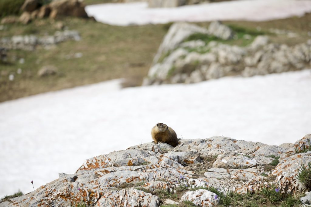
A marmot in the Snowy Range, Medicine Bow National Forest

cool-water reprieves in Fremont Canyon and tongue river canyon

Carl Fisher, executive director

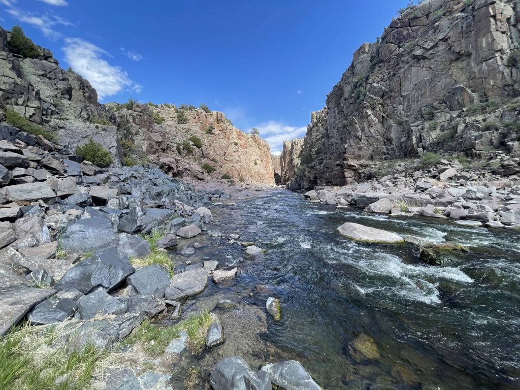
Carl’s first year on the job has seen him traveling to all corners of the state to meet with members and partners — and occasionally, he’s been able to sneak off with his fly rod to wet a line. The North Platte River’s Fremont Canyon, southwest of Casper, has been a frequent rest stop: With its spectacular granite walls, juniper-spotted hills, and, of course, clear, cold, trout-filled waters, the canyon offers excellent fishing with easy access.

Rather spend the day boating? The canyon is also popular with kayakers and canoers — and Alcova Reservoir is just downstream, too. Or, if you’re a rock climber, the canyon’s walls are dotted with hundreds of established climbing routes.

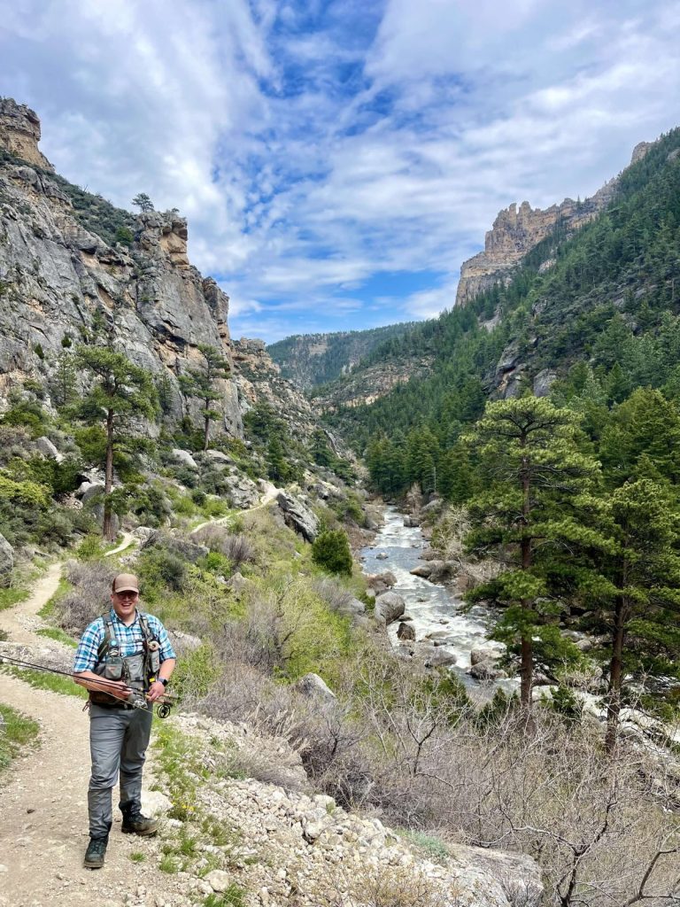
Another favorite of Carl’s is Tongue River Canyon in Bighorn National Forest, where the Tongue cascades through mountainous terrain dotted with pines and limestone spires. It’s a river he’s had the chance to fish with frequent travel partner Tyler Cessor, WOC’s development director — and the two are itching to get back!

Scaling Tensleep Canyon’s walls

Max Owens, communications manager

The pocketed limestone walls of Tensleep Canyon hold a special place in Max’s heart. And it’s not just because of the world-class rock climbing: “The expansive views of the plains at the foot of the Bighorns feel classically Wyoming,” he says. “And hiking down from the cliff through fields of lupine and balsamroot, and knowing that I get to do it all again tomorrow, always feels perfect.”

Bighorn National Forest is full of nearby hiking and backpacking options, too — including the spectacular trail to the summit of Cloud Peak, the highest point in the Bighorns. Did you know? This year marks the 40th anniversary of the passage of the Wyoming Wilderness Act, which designated the Cloud Peak Wilderness along with several other Wyoming wildernesses.

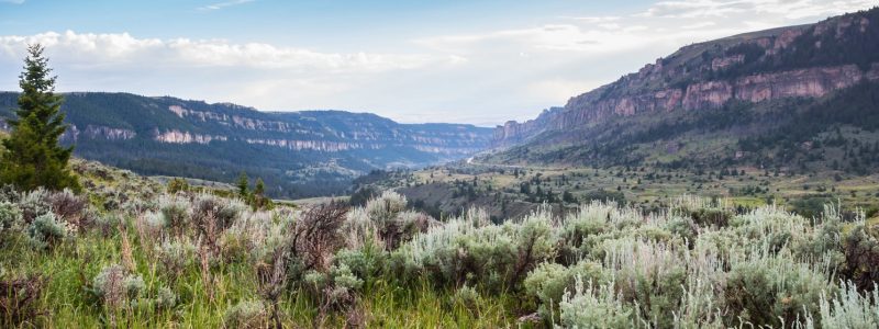
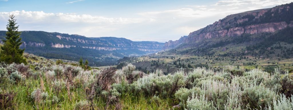
Scenic view of Tensleep Canyon in Wyoming with lush sagebrush in foreground and steep canyon walls in middle and background
Tensleep Canyon, Bighorn National Forest

Where are you headed to enjoy Wyoming’s public lands this summer? What are some of your favorite Wyoming destinations and activities? Let us know in the comments!

Field Notes


A Wyoming guide to recent Bureau of Land Management rules and land use plans

A Wyoming guide to recent Bureau of Land Management rules and land use plans

Over the past year, the Bureau of Land Management has been busy with a bevy of rules that, once finalized, will impact public lands across Wyoming and the West. (You might remember hearing from us about the Public Lands Rule, Methane Rule, and Oil and Gas Rule — and you may have even written comments on these proposed rules.) Now, it seems April is the month that all these efforts have begun to bear fruit: With near-weekly announcements of finalized rules, it’s certainly been a busy time for the agency. And, I’ll add, for anyone trying to keep up!

Fortunately, these new rules contain plenty of conservation victories worth celebrating. But we can’t blame you if keeping them straight has led to some serious head-scratching.

To add to the confusion, the publishing of these rules has happened alongside the comment periods for additional BLM land use plan revisions and proposed rules. (With any luck, we’ll have even more to celebrate when the Western Solar Plan, Rock Springs Resource Management Plan, and updates to the rangewide Greater sage-grouse plan are finalized.)

Whether you’ve been closely following the news, are just tuning in, or are one of the many WOC supporters who shared comments with the BLM, this quick guide will help you get a handle on the agency’s recent activity — and what each of these rules and plans means for Wyoming’s public lands and wildlife.

RECENTLY FINALIZED BLM RULES

PUBLIC LANDS RULE

The Public Lands Rule adds conservation to the list of multiple uses allowed on public lands, placing it on equal footing with uses such as grazing, energy development, and recreation. It does not prevent oil and gas drilling, mining, or grazing on public lands — but it does enshrine protection and restoration as necessary components of responsible management. In doing so, our wildlife habitat, areas of cultural importance, water quality, and landscape intactness all stand to benefit.

The BLM manages 18.4 million acres of land across Wyoming — nearly one-third of the state. While drought, wildfires, and decreasing land health threaten these lands, the Public Lands Rule provides a cohesive framework for implementing conservation measures to address these threats and slow negative impacts from climate change — while continuing to manage for the many uses of these lands that allow Wyoming communities to thrive.

OIL AND GAS RULE

The most significant update to oil and gas leasing on federal lands in decades, the Fluid Mineral Leases and Leasing Process Rule directs development away from lands with little to no potential for oil and gas — thereby allowing better management of places with important habitat, recreational values, and cultural resources. It also ensures that companies set aside more money to plug wells after drilling, which is significant considering that previously, required clean-up money would have covered the cost of fewer than one out of 100 wells. These common-sense reforms, that follow in the footsteps of state policy, are a win for the health of Wyoming landscapes and for Wyoming taxpayers, as increased oil and gas royalty rates will result in better returns for Wyomingites and fund vital public services.

METHANE RULE

This rule aims to reduce emissions of methane, a potent greenhouse gas, from oil and gas operations on public lands. Also known as the Waste Prevention Rule, it updates regulations more than 40 years old by requiring oil and gas operators to take reasonable steps to prevent wasted methane during operations such as venting and flaring. The reduced emissions will benefit Wyoming’s air quality, and conserved methane will be available to power homes and industries. Through additional required royalty payments on natural gas emissions that could have been avoidable, the rule will also ensure Wyoming taxpayers are fairly compensated for natural gas that is unnecessarily wasted during production.


(Note: While similar in aim, this rule is separate from the Environmental Protection Agency’s final methane rule, which was published in December 2023. BLM’s rule curbs wasted methane on federal and Tribal lands and will go into effect this summer, while EPA’s sweeping rule curbs methane emissions on both public and private lands and will take several additional years before it is enforceable.)

RECENT BLM PLANS OF NOTE, YET TO BE FINALIZED

UPDATED WESTERN SOLAR PLAN

This region-wide plan (also known as the Solar Programmatic Environmental Impact Statement) will identify the best locations across 11 Western states for future utility-scale solar development on federal lands, along with areas that should be closed to solar. By proactively screening for wildlife, sensitive habitats, cultural resources, and other values and resources, it aims to reduce foreseeable land use conflicts. Our climate future depends on the addition of renewables to our energy portfolio — and the Western Solar Plan represents an opportunity to ensure solar doesn’t come at the cost of our iconic wildlife and other Wyoming values.


The Western Solar Plan is currently in draft form, and the period for comments on the plan concluded earlier this month. If you wrote to the BLM in favor of responsibly sited solar in Wyoming, thank you! Read WOC’s Western Solar Plan comments here.

Updated Greater Sage-Grouse Management Plan

Building off the BLM’s 2015 and 2019 plans for Greater sage-grouse, this plan enhances protections for this most-loved of Western birds — a prominent symbol of the threatened and ever-diminishing sagebrush biome. Drawing on ample new data and research, the update covers 77 resource management plans across 10 Western states, including Wyoming. Because the BLM manages the vast majority of Greater sage-grouse habitat on the continent, it is imperative that the agency takes bold action with this plan revision to shore up remaining, quality habitat and stave off further declines. As we dive deeper into the plan’s management alternatives, count on us to keep you informed and keep your eye out for opportunities to speak up for sage-grouse protections. Wyoming is the beating heart of the sagebrush biome and what happens here has outsize implications for the bird’s future, so your participation and local knowledge will be of added benefit to the agency. The plan is currently in draft form, with a public comment period ending June 13.

Rock Springs Resource Management Plan

A plan nearly 12 years in waiting, the Rock Springs Resource Management Plan outlines how much of the northern Red Desert — including the Big Sandy Foothills, Adobe Town, and more — will be managed for the next 15–20 years. The draft plan favors conservation of the Red Desert’s extraordinary habitat, cultural resources, and wide-open spaces while protecting opportunities for recreation. In December, WOC represented conservation on a task force convened by the governor to form consensus recommendations for the BLM alongside livestock, oil and gas, sporting groups, and other interests. Much common ground was found as we defended the Red Desert’s key landscapes from potentially damaging proposals.

There’s a good chance you heard and answered our calls to advocate for the Red Desert’s treasures. The public comment period on the draft RMP ended in January, and we’re confident that your passionate advocacy will result in a strong final plan. Thank you for your many supportive comments.

THANK YOU

As time marches on, it’s essential that we continually revisit, refine, and revise the rules and plans guiding management of our public lands. The items listed above are the finalized and in-progress products of this important process. They represent the modernizing of old policies that often had the effect of undermining conservation interests. They are also significant strides towards more proactive management of our public lands.

Importantly, the true value of these rules and plans lies with the public input that helped to build them. They are valuable because people like you spoke up — people who care for, understand, recreate or work on, live near, and love these public lands. As these frameworks for management move from draft stage to final rule or plan, we can’t thank you enough for your support and advocacy. Wyoming’s public lands are better for it!

Have lingering questions about recent BLM rules and land use revisions? Send us an email or write a comment below.

Field Notes


Q&A: An Eagle-Eye View of the Red Desert

Q&A: An Eagle-Eye View of the Red Desert

In Wyoming’s Red Desert, the necessity of truly big-picture, holistic thinking around conservation advocacy is on full display. For one, it’s home to big game herds that require intact habitat throughout the length of migration corridors that span hundreds of miles. For another, it’s a place that has been stewarded by people for millennia, whose descendents are still here — and whose voices are critical for any conversations about how this land should be managed.

While obstacles to this kind of big-picture thinking are many, the sheer scale of the landscape presents a unique challenge: At more than a half-million acres, how do you wrap your mind around an area the size of the Red Desert?

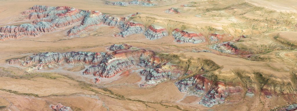
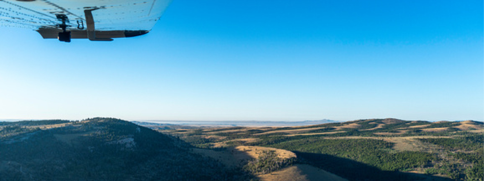
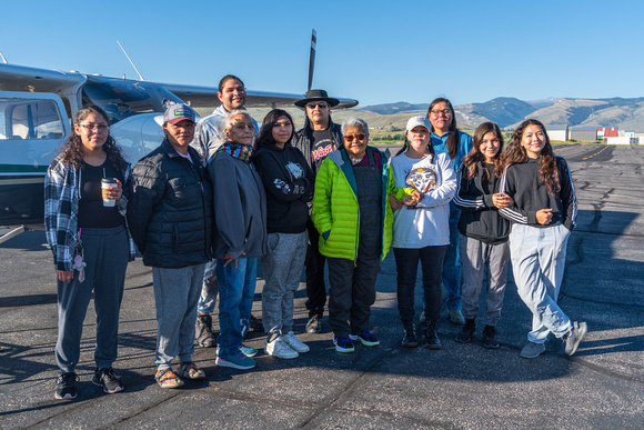
Recently, Tribal Engagement Coordinator Big Wind Carpenter worked with EcoFlight, a Colorado-based organization, to share a bigger-picture perspective of the desert … from high above, in a small 6-seater propeller plane!

During the flights, Big Wind narrated a loop over the Red Desert for Eastern Shoshone and Northern Arapaho elders, pointing out many of the cultural resources that hold special significance for more than a dozen Tribes with connections to the land. We sat down with Big Wind to hear about their work with EcoFlight and to learn what insights might be gained from taking to the skies.

[Interview edited for length and clarity.]

Images: EcoFlight

You’ve been sharing the values of the Red Desert with others for years now, but primarily with vehicle tours. How does EcoFlight fit into the work you’ve been doing there?

You could spend your entire life exploring the Red Desert — it’s that big of a landscape. When we leave Lander on a vehicle tour, whether we’re taking elected officials, Tribal people, WOC members, or donors, we know that it’s going to be an all-day trip, because a lot of these areas have long distances between them.

For people who don’t have that time or that mobility, I think it’s important that we try to work out a different tour for them. The intention for this year’s flight was to get some Tribal elders out there. We were able to get Reba Teran, an Eastern Shoshone elder and language teacher, and Mary Headley, a Northern Arapaho elder who teaches at the Arapaho Immersion School, to join us. And then they also brought their helpers with them because they have mobility issues. We’re trying to make sure that people who have mobility issues are still able to see these places, and have these discussions.

Tell us a little about your flight path — which parts of the Red Desert did you get to see?

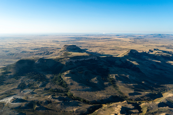
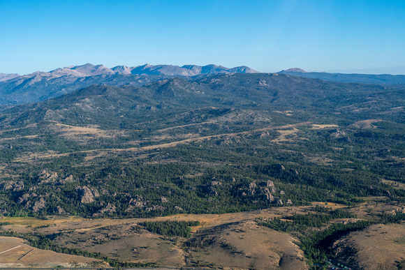
We did two flights that morning, and we kind of did a loop of everything north of I-80. We left the Lander airport early that morning, flew over Red Canyon, flew to where the Great Divide Basin starts over by the Oregon Buttes and the Honeycomb Buttes. Then we moved down to the Killpecker Sand Dunes and Boar’s Tusk. From there, we flew over the White Mountain petroglyphs, checked out Steamboat Mountain, and came back up through the Wind River Range.

For someone like you, who has spent so much time out in the Red Desert, what’s it like to see it from the air?

I think the Red Desert is such a special place, because it has all of these different microhabitats within the area that it covers. You have the south side of the Winds, and the sand dunes, and areas of sagebrush. The plains, the desert, and the mountains meet in this area, but you don’t understand completely until you’re thousands of feet above it. I think the EcoFlight is a very powerful tool to be able to visualize how interconnected these habitats are to one another. It’s such a beautiful thing.

Could you share some of the highlights of the flight?

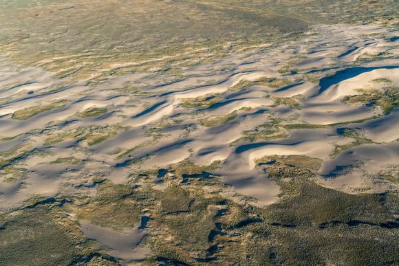
Being able to see the sand dunes moving in real time was a highlight. The Killpecker Sand Dunes are the largest living sand dune field in North America. When you’re on the ground, there’s always a steady wind, and you can kind of see the sand moving. But when you have a bird’s eye, you can actually see where they’re traveling across the landscape.

Also, there were also some pretty good migrations of antelope coming down off the mountains. Especially knowing how diminished those populations are after last winter, it was amazing to see just how resilient these animals are to be migrating across the land.

What was it like to share an aerial view of the Red Desert with the elders who joined you? And with other, younger Tribal members?

For both Reba and Mary, especially as culture and language teachers, I think it was important for them to be able to tell us the names of these places, and what those names meant, and why they were named a certain way. As an Arapaho person myself, being in a situation where Mary was educating other Arapahos who didn’t know those areas was really impactful. I have Shoshone family (although I’m not a Shoshone Tribal member), so being out there with Reba and hearing their stories, hearing their names, and why they’re named those things felt very impactful to me, too.

Over a dozen Tribes have relations with that landscape: The Shoshone, the Crow, the Cheyenne, and many others have stories about that land and their connection to that landscape. Some of those Tribes, their stories go back thousands of years. So I think it’s really important that not only are those stories told, but that those stories are shared with the next generation. Not only did we have the elders, but we had young people on both of those flights who were able to hear from the elders, and I think that made this very significant.

I think that’s interesting, because you’re in a role where you’re the tour guide. But you’re also learning from your elders, too.

Yeah. I think that’s a part of our culture, as Indigenous people. We look to our elders for guidance, we look to our elders to be able to tell stories. There’s places like the Birthing Rock, and the White Mountain petroglyphs, and all these other sacred sites that are found in the Red Desert. If we don’t relay this information, it will be lost. So it’s important to ensure that our elders are able to have the space to pass on these stories to young people.