Five years ago, the Rock Springs BLM sought your perspective for a land-use plan that will determine management for Adobe Town, the Northern Red Desert, and other landscapes in Sweetwater and Sublette counties. Now, they want to hear from you again.
What: Rock Springs BLM Open House When: August 24, 4-7 p.m. Where: Rock Springs Field Office, 280 Hwy 191 North
Devil’s Playground is just one of many amazing landscapes found within the Rock Springs Field Office. Photo: Soren Jesperson
Check out our fact sheet for more information. Staff will answer questions about the planning process—including what they’ve been doing during this delay and when we may see a draft plan. This is a great opportunity to discuss what’s changed in five years and the places you want to see protected. We’ll be there and hope you’ll join us!
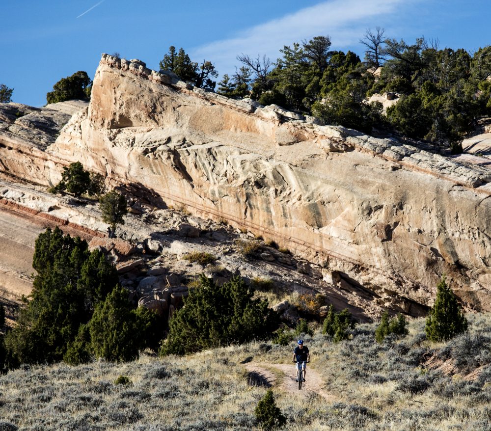
We believe the outstanding trail system and scenery at Johnny Behind the Rocks is incompatible with mining. Johnny is one of those special places that drives Lander’s economy and helps make us a recreational hot-spot. The BLM hails JBR among its top 20 mountain biking destinations. Volunteers from Lander and Riverton have invested hours of effort building its trails. They have also generously funded infrastructure. Johnny is one of the important locations around Lander. It helps make our town the special place it is today: a western town with rural charm and world-class recreation areas. These areas encourage existing residents—our young people—to stay in town. They draw in new residents: young professionals who buy homes, put down roots, start families, and start businesses. These professionals could live anywhere in the West but bring their energy and their tax dollars to Lander. These areas also draw in tourists. Wyoming’s second-most important economy is tourism and it’s a vital one for Lander. Tourists who come to hike, climb, and bike pay lodging taxes and buy gas, groceries, and restaurant meals, helping keep businesses on our Main Street afloat. Whether you head to Johnny for an adventure-filled ride or a Saturday morning dog walk, you know its views, geology, wildlife, and natural setting are incompatible with mining.
How can I help?
The Fremont County Commission is deciding whether to oppose or support this withdrawal on August 23rd. The commission made a preliminary decision on August 2 to stand opposed to this withdrawal. Email the county commissioners to let them know what you think—let them know why you go there, and how important Johnny is to Lander.
and tell the BLM what you think, too!
Send comments to the BLM by September 8. They can be emailed to Kristin Yannone at kyannone@blm.gov. Include “JBR Mineral Withdrawal” in the subject line. Or, mail your comments to: BLM-Lander Field Office, ATTN: Kristin Yannone, 1335 Main Street, Lander, WY, 82520
Johnson County Residents: You can help determine the future of some of our most beloved local landscapes!
What is the Johnson County Wyoming Public Lands Initiative?
The Johnson County Commission recently announce its participation in the statewide Wyoming Public Lands Initiative. This is a major stakeholder effort to consider the fate of wilderness study areas (WSAs) and possibly other public lands, in each county that participates. The ultimate goal is to develop a legislative package to be submitted to Congress.
The Johnson County Commissioners are looking for volunteers to participate on their Advisory Committee for this collaborative process that will consider the future status of the North Fork and Garner Mountain wilderness study areas in the southern Big Horn Mountains. We encourage you to apply! We understand that they are interested in recruiting committee members that are familiar with either of these areas, and you do not need to be a Johnson County resident.
Please feel free to contact me if you have questions, and let me know how I can help!
Sublette County Residents: You can help determine the future of some of our most beloved local landscapes!
Shoal Creek Wilderness Study Area Photo: Fred Pflughoft
What is the Sublette County Wyoming Public Lands Initiative?
The Sublette County Commission has initiated a formal collaborative process to consider the future management of its Bureau of Land Management wilderness study areas. The commissioners are looking for local citizen involvement to help craft a proposal for public land legislation that will be forwarded to Congress.
The Wyoming Public Land Initiative focuses first on wilderness study areas (WSAs) but can include other beloved local landscapes. For Sublette County, this means Scab Creek WSA, Shoal Creek WSA, and Lake Mountain WSA will be evaluated but other landscapes that would benefit from public land legislation, including the Upper Green or along the southern Wind Rivers could also be considered.
Please join us at an informational meeting to learn more about this process and how you can participate and share your local knowledge and perspectives!
Tuesday, May 31 – Pinedale
6-7:30 p.m., Sublette County Library
Carbon County Residents: You can help determine the future of some of our most beloved local landscapes!
Ferris Mountains
What is the Carbon County Wyoming Public Lands Initiative?
The Carbon County Commission has initiated a formal collaborative process to consider the future management of its Bureau of Land Management wilderness study areas. It is looking for local citizen involvement to help it craft a proposal that will be forwarded to Congress.
Please join us at an informational meeting to learn more about this process and how you can participate and share your local knowledge and perspectives!
Wednesday, May 11 – Saratoga
6-7:30 p.m., Saratoga Inn
Thursday, May 12 – Rawlins 6-7:30 p.m., home of Barb & Bill Parsons (contact us for details)
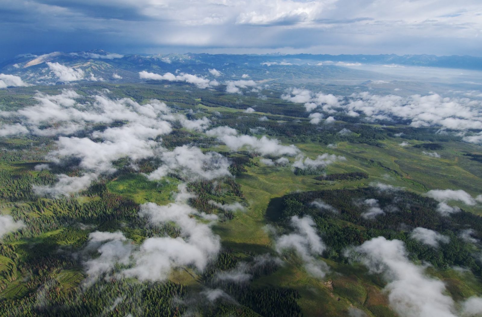
The U.S. Forest Service has at long last released a draft analysis for its final decision about the last remaining—and most controversial—oil and gas leases on the eastern slope of the Wyoming Range.
Please click here to voice your support for the agency’s preferred alternative: No Leasing.
It has never been more important to show broad public support for a “no leasing” decision. Please speak up today!
In order for comments to be most useful and to ensure they are considered prior to the final decision, please submit them by May 23, 2016.
Click here to read the Bridger-Teton National Forest’s media release.
Click here to see the draft analysis in its entirety.
Fremont County Residents: You can help determine the future of some of our most beloved local landscapes by applying to participate in the Fremont County advisory committee! Deadline to apply is April 14.
What is the Wyoming Public Lands Initiative?
The Wyoming Public Lands Initiative is a county-convened process intended to bring together a wide range of stakeholders to collaborate and create federal legislation for public land management. This opportunity will attempt to address how public land agencies manage our special landscapes, including “wilderness study areas.”
Wilderness study areas, sometimes called WSAs, are special places that, almost three decades ago, were determined to have wilderness character. Only the U.S. Congress can designate wilderness, so after these wild lands were inventoried, they were given the status of “wilderness study areas.” There are 42 of these areas managed by the BLM in Wyoming and three managed by the Forest Service, totaling over 700,000 acres. Because they lack the permanence of formally designated wilderness, their status has been in limbo for years. The agencies manage them to retain their wilderness character until directed by legislation for their permanent protection or other management.
Why Not Just Leave Them the Way They Are?
The status quo might not be the best option anymore. Wilderness study areas were always an impermanent designation. These lands were never meant to be managed for so many years as wilderness without formal designation—and there are stakeholders in Wyoming who would like to see the question resolved and see a permanent decision. Many of these areas’ wilderness qualities have been threatened by mismanagement and impairment and there’s the threat that Congress could make a decision about their fate without our input.
What Can We Do in this Process?
Some stakeholders would like to see all of these wilderness study areas released, which means they wouldn’t be managed to retain their wild character. Others would like most or all of them to be permanently designated wilderness. The middle ground might well be some special, directed management designed to protect the specific values and uses within each landscape, while protecting the wild areas through designation as wilderness. We believe that in order to be successful in finding win-win solutions, this process needs to look beyond WSAs to adjacent lands or other county landscapes and explore other public land management options—this is a chance to set aside, or design management for, WSAs and other special landscapes. If the question of WSAs is to be resolved, stakeholders in Wyoming will have to come together, find common ground, and explore opportunities for compromise.
What is the Best Case Scenario?
Stakeholders with diverse interests work together in good faith to create legislation permanently addressing Wyoming wilderness study areas, and to design permanent management for other important landscapes, using a process that is fair, inclusive, transparent, and appropriate for the values in question. We believe it’s possible to create win-win solutions that protect these landscapes and provide certainty for our local communities. If done right, there is a chance that we could see the first new wilderness designations in Wyoming in more than 30 years and other permanent designations for our special local landscapes. This could happen only if a bill is crafted that has broad local support, from hunting, angling, recreation, economic, and cultural interests, as well as the support of the conservation community and elected officials. In our minds, that’s a goal worth working toward for these special places.
What Can You Do?
You can help by getting involved in this process! By participating, you will be able to bring your unique perspective to a diverse table of stakeholders. The quality of life we enjoy in Fremont County, as well as our outdoor recreation and tourism economy, will benefit by adding permanent protections to our most special public lands. By sitting down in good faith with neighbors to share our values and perspectives, we can help create federal legislation that could permanently protect some of these areas and design management for others that would conserve their important values. This is a not a chance that comes around often.
How Do You Get Involved?
Print and fill out the application (PDF) or (Microsoft Word Doc) and return it to the county courthouse in person or by email by April 14. IMPORTANT: Please be sure to check all of the categories that you can represent, including “general public.”
In the additional comments section, please be sure to suggest other categories or interests (historical, cultural, local business, tourism industry, type of recreation group, etc.) if you don’t feel the given categories fully represent your expertise, interest group, or perspective.
When asked about designations or management that you would consider, it’s important to note you are open to learning about the full range of possible designations or management and will keep an open mind during deliberations.
Be able to attend meetings—the Advisory Committee will likely host all-day meetings once a month for a year or two. Some months may require more than one meeting, and in the second year, there may be fewer.
Our Wilderness Study Areas
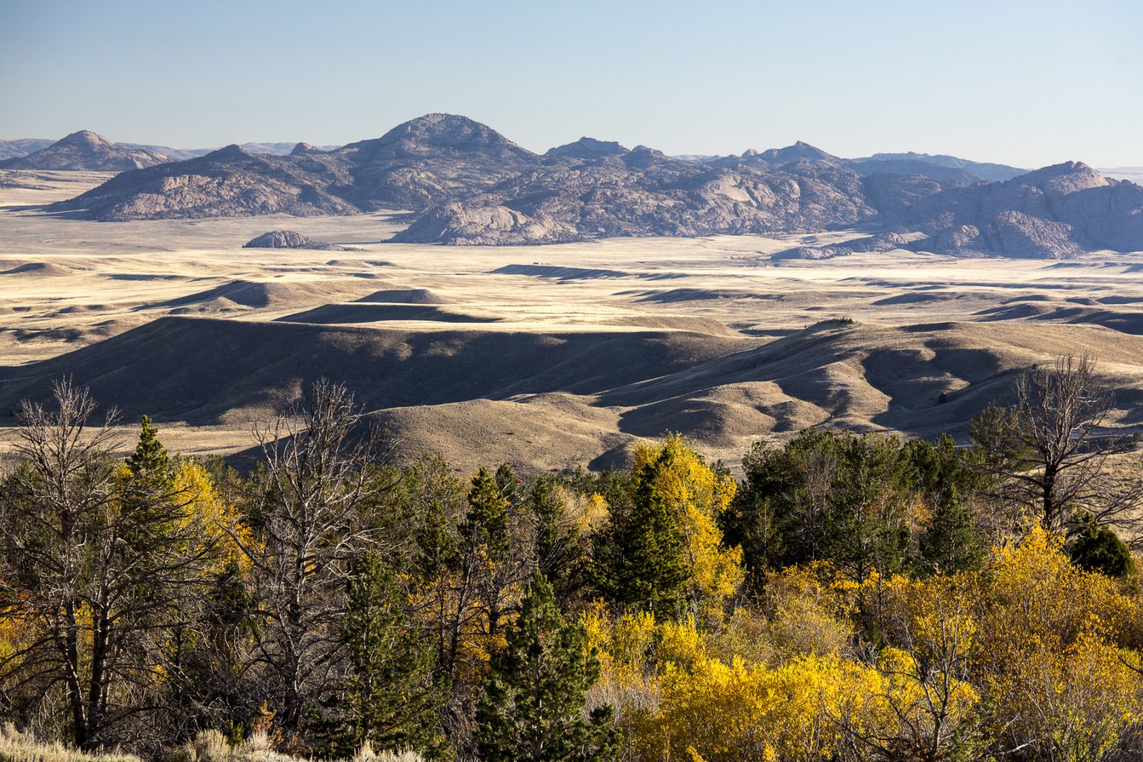
Fremont County has five, and portions of three others, including the tiny Whiskey Mountain add-on near Dubois and the colorfully rugged Dubois Badlands, the incredible Lankin Dome climbing area, little-known Copper Mountain to the north, and the popular Sweetwater Canyon to the south. The Fremont committee is expected to also work with Sweetwater County on the shared northern Red Desert areas, including the astounding Honeycomb Buttes and Whitehorse Creek and with Natrona County on the Sweetwater Rocks area. Remember: the landscapes around these WSAs, or others elsewhere in the county, will be included too so other opportunities for permanent landscape protections throughout the county should also arise.
Click here to download a PDF fact sheet about this process.
“The people of Wyoming understand that once our public lands are taken and auctioned off to the highest bidder, that’s it. Up go the No Trespassing signs and there goes our access.”
A vast region of public lands in Wyoming—from the southern edge of the beautiful Upper Green River Valley, down to Flaming Gorge, and across the northern Red Desert to the stunning landscape of Adobe Town—will have a new land-use plan in the next few years. Public land managers are working on this new plan right now. To help inform that process, the Wyoming Outdoor Council and our partners have identified five priority landscapes that deserve to be protected within this new plan. Check them out!
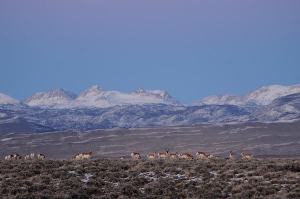
From the towering Oregon Buttes to the Great Divide Basin, it was the Northern Red Desert’s open spaces that provided solace for Wyoming Outdoor Council founder, Tom Bell, during his recovery from injuries sustained during his military service in World War II. Protecting the Northern Red Desert is part of the Outdoor Council’s DNA, and it is at the heart of our mission. Home to a rare, resident desert elk herd, wintering migratory elk, pronghorn, greater sage-grouse, dozens of sagebrush dependent animals and birds, golden eagles and other raptors, among other wildlife, the Northern Red Desert is a place like no other. The longest known mule deer migration corridor—the Red Desert to Hoback—starts here each spring and thousands of deer arrive again each fall to spend the winter in the wind-swept Leucite Hills.
Other treasures include the Honeycomb Buttes Wilderness Study Area, Whitehorse Creek Wilderness Study Area, the Killpecker Sand Dunes and Boar’s Tusk, rock art in Pine and Cedar Canyons and along White Mountain. The Oregon, California, Mormon national historic trails and Pony Express route traverse South Pass along the western edge of the northern Red Desert. Just west of Oregon Buttes, at Pacific Springs, emigrants celebrated their entry into Oregon Territory.
2. The Big Sandy Foothills
The Big Sandy Foothills are hands-down one of the most valuable and essential refuges for our migratory and resident big game herds—from mule deer, to elk to pronghorn—and for many other critters that depend on sagebrush. Photo: Joe Riis
Providing critical habitat for several big game species, sagebrush dependent birds, and other wildlife, the Big Sandy Foothills are known to local land and wildlife managers as “the Golden Triangle.” This triangle of land epitomizes the sagebrush sea: rolling hills rise to the forest-clad Prospect Mountains. Behind the Prospects, the Sweetwater River exits the Wind River Range before it winds through the Foothills and edges east along the northern Red Desert. The Red Desert to Hoback mule deer migration passes through the Foothills, and picks up thousands of deer that wintered among the Prospects.
Hunting opportunities are rich, as are hiking, camping, and wildlife watching. Additionally, the National Historic Trails corridor, encompassing the Oregon, California, Mormon and Pony Express traverses the Big Sandy Foothills. One of the most significant sites on trial, the Parting of the Ways, is in the Foothills; here, trails diverged and some Oregon emigrants headed straight west rather than following California and Mormon emigrants south to Fort Bridger.
A complex of pine, aspen, and juniper-clad mountains rising above the Flaming Gorge and high desert, the Little Mountain area is a paradise for big game hunters. This is where hunting and fishing traditions are passed down generation to generation. Fast-running cold-water creeks ripple out of the high country. Currant, Red and Sage Creeks even host Colorado River cutthroat trout. The summits of Pine, Little, Richards, and Millar mountains offer extensive views of the high country, surrounding desert, and the red rocks of the Gorge. The Red Creek Badlands Wilderness Study Area is renowned by those adventurers seeking solitude by hiking or cross-country skiing.
4. Adobe Town
The wild lands of Adobe Town and its wind-etched rock formations have sheltered the secrets of those seeking solitude and solace—from Butch Cassidy to modern day adventurers. Photo: Ken Driese
The wild heart of the southern Red Desert. Adobe Town is home to the largest wilderness study area in Wyoming—badlands, buttes, hoodoos, and eroding sedimentary rims combine to create a breathtaking landscape worthy of a national park. Butch Cassidy and his gang sheltered in the Haystacks, to the north, and Powder Wash, to the south. Open spaces stretch west to Kinney Rim, which is renowned by big game hunters and hikers seeking solitude and stunning views. Though difficult to access, visiting Adobe Town is well worth the effort.
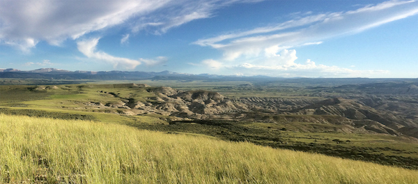
5. Devil’s Playground
When you want to get away from modern life, head to the backcountry of Devil’s Playground, which is rarely visited. You’ll be utterly alone with your thoughts, the wind, and the rich history of people who traveled this playground hundreds of years before you. Photo: Soren Jesperson
The Devil’s Playground area is a secret gem. With its two wilderness study areas (including Twin Buttes) and views of Black and Cedar Mountains, just west of Flaming Gorge, this playground’s towering buttes provide excellent wildlife habitat above the surrounding sagebrush sea. The wild character of these wind-swept buttes, scattered with teepee rings, stands in stark contrast to the busy shores of Flaming Gorge. For those wanting to get off the beaten track and not encounter another person while wandering in the desert, Devil’s Playground is the ideal destination.
“In this age of being able to tap a screen to find the answer to nearly any question we can come up with, it delights me to be reminded that the natural world still harbors secrets and mysteries. It thrills me to think of all we don’t know.”