fbpx

Field Notes


BREAKING: Governor’s task force recommendations shape improved public lands management in newly released Rock Springs plan

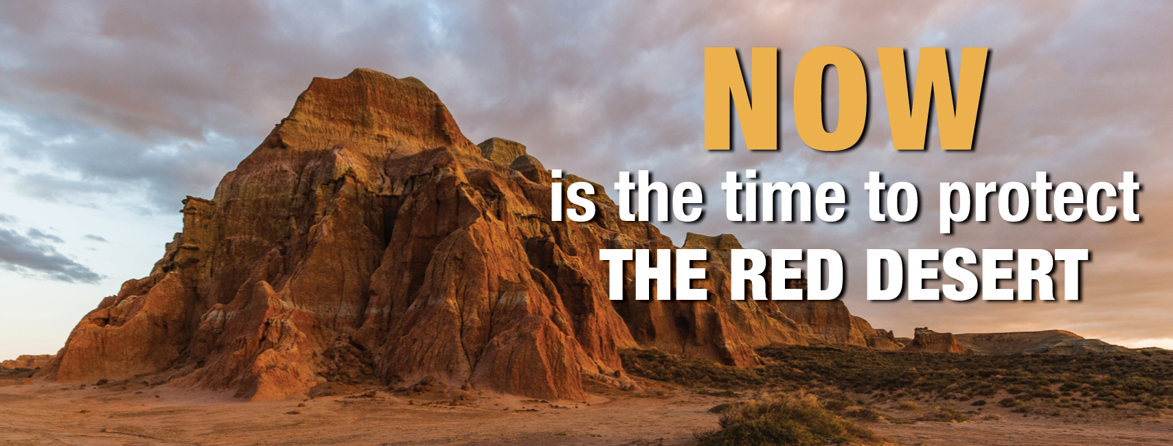
BREAKING: task force recommendations shape newly released Rock Springs plan

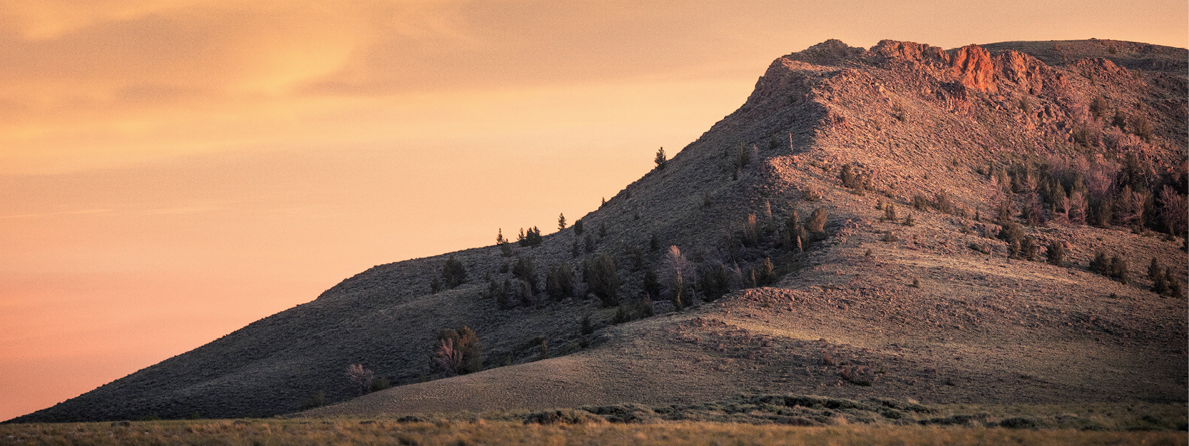
August 22, 2024 – Today, the Bureau of Land Management released its proposed Rock Springs Resource Management Plan, outlining management direction for almost 3.6 million acres of public lands in southwest Wyoming. The proposed plan clearly reflects and incorporates feedback from tens of thousands of public comments and input from local stakeholders, including the task force Gov. Mark Gordon convened in late 2023.

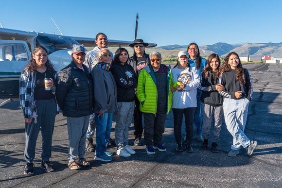
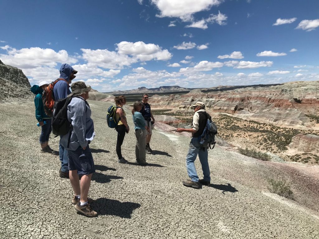
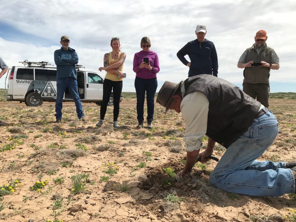
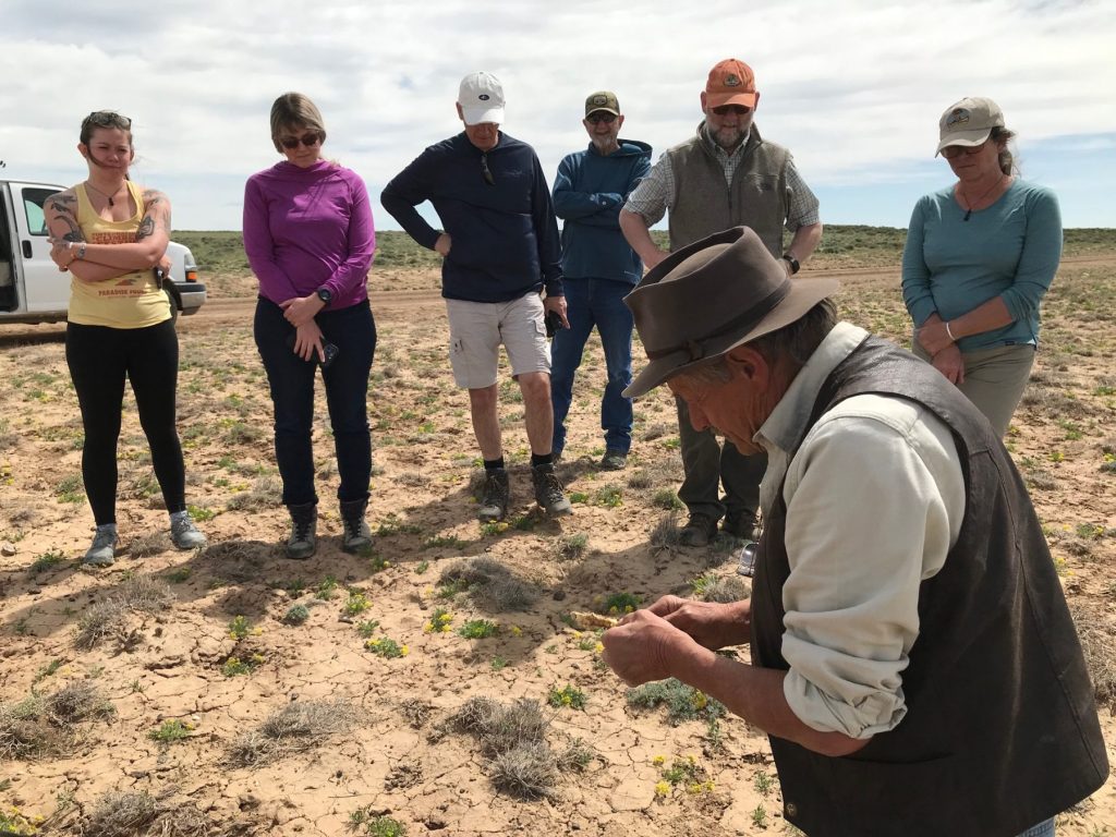
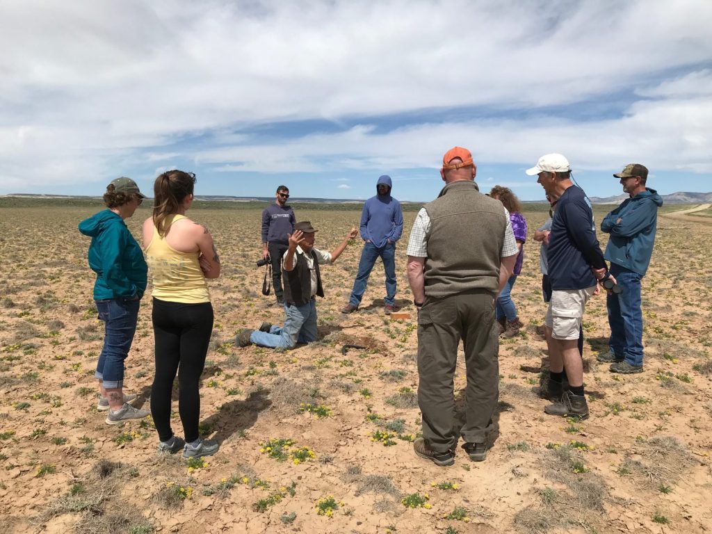
The Wyoming Outdoor Council and Wyoming Wilderness Association both served on the governor’s task force alongside representatives with interests in oil and gas, grazing, energy production, motorized recreation, sportsmen groups, and trona industry. The task force also included elected officials from communities in Sweetwater County as well as the Speaker of the House and President of the Senate for the Wyoming Legislature. This group developed more than 100 consensus-based recommendations, supported by all stakeholders, to improve the plan and delivered these recommendations to the BLM during the agency’s public comment period.

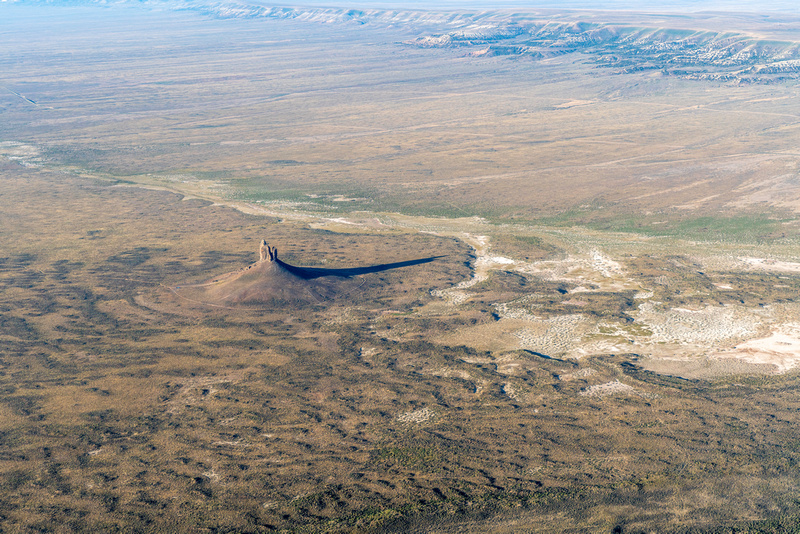
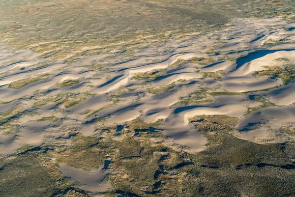
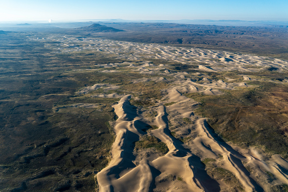
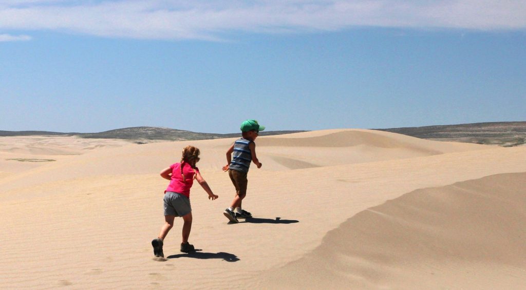
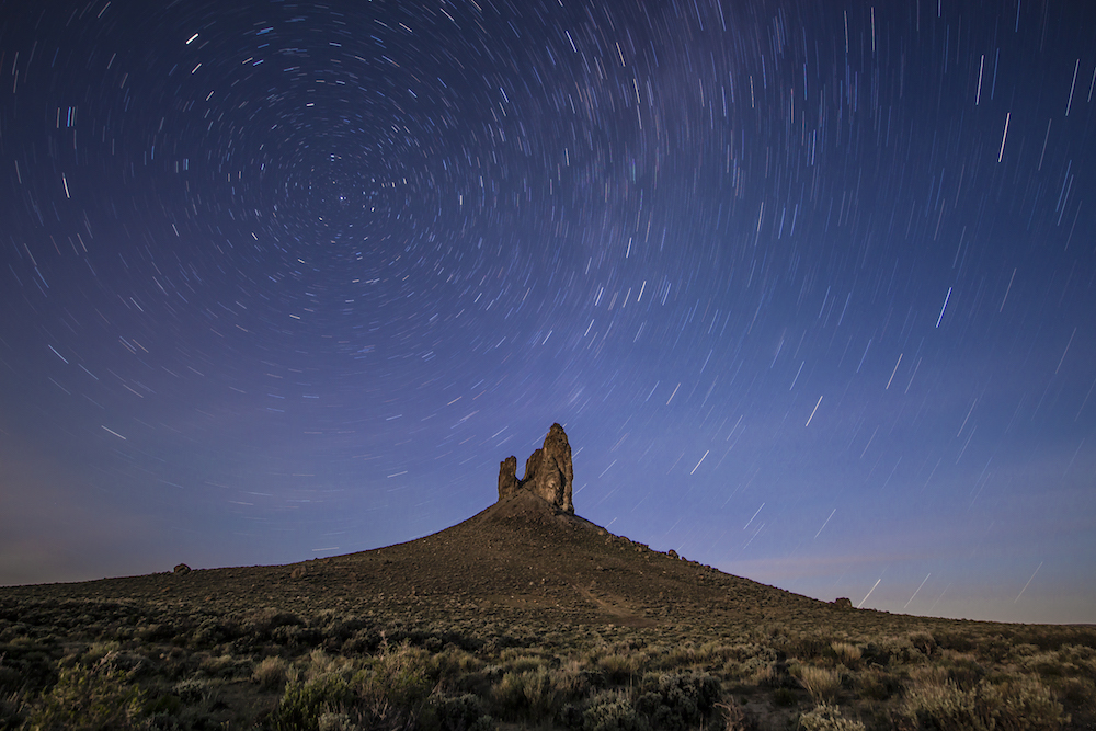
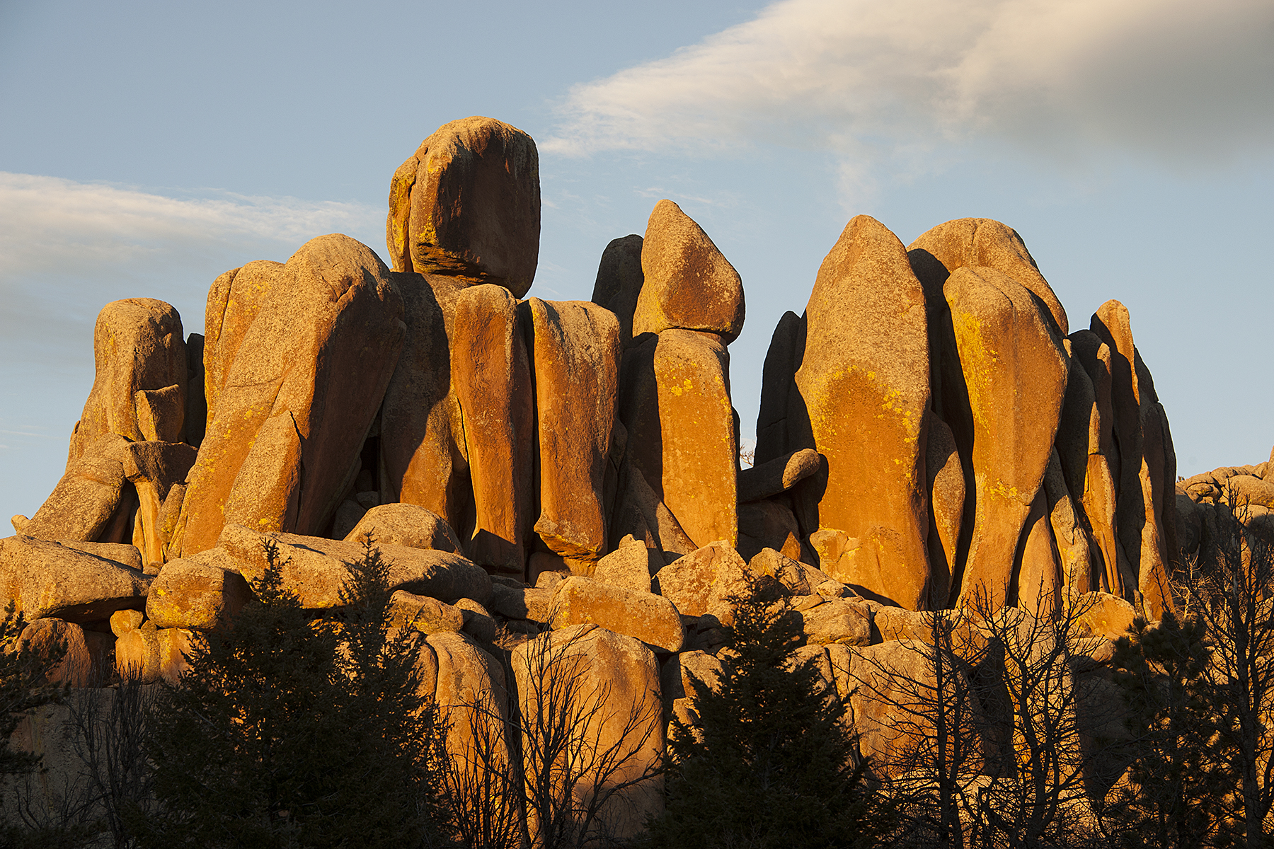
The BLM took the task force’s consensus-based comments seriously. The proposed Rock Springs Resource Management Plan reflects task force recommendations including maintaining access for the local trona mining industry, retaining the OHV play area in parts of the Killpecker Sand Dunes, and protecting the unique natural and cultural values of Boar’s Tusk.

In response to the plan’s release, WOC and WWA issued the following statements:

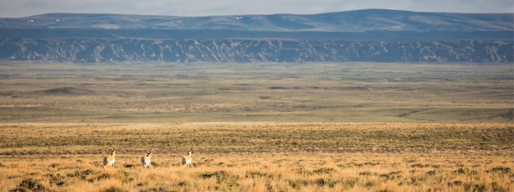
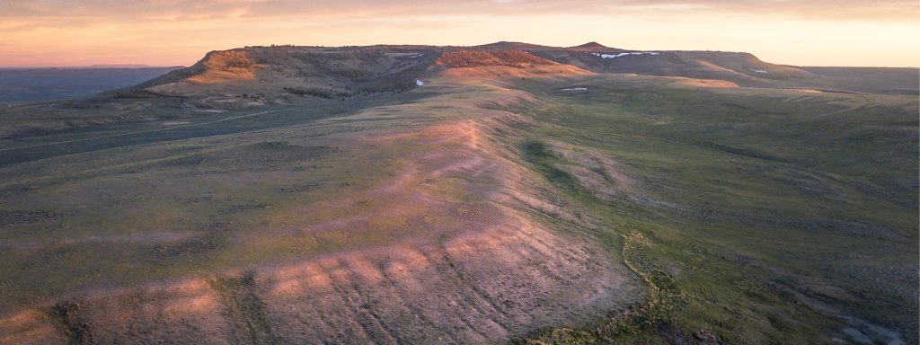
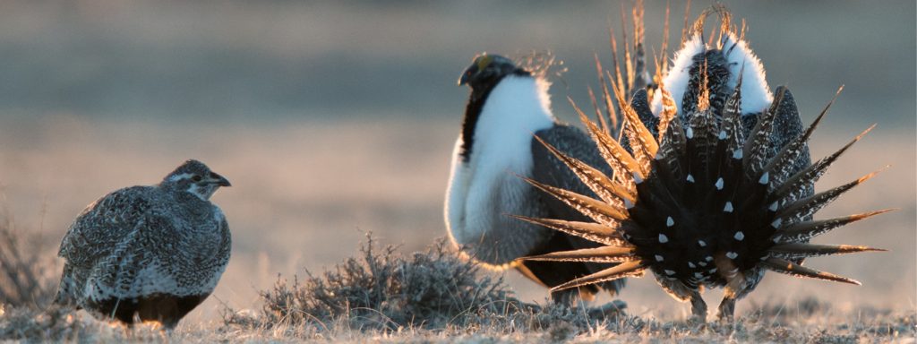
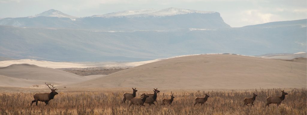
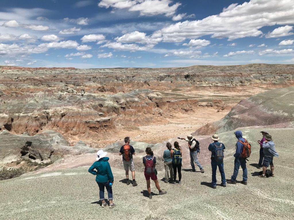
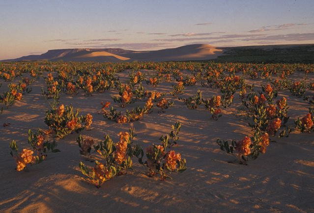
“We’re pleased to see the BLM incorporated public feedback and input from Gov. Gordon’s task force into a plan that serves local communities, iconic landscapes, and wildlife,” said Alec Underwood, program director for the Wyoming Outdoor Council. “Among other important agreements, the task force reached consensus on the need to protect gold-standard habitat and other significant natural values in the Big Sandy Foothills and Northern Red Desert, such as Boar’s Tusk. It’s encouraging to see the BLM’s responsiveness, as well as the agency’s efforts to build on the task force’s strong foundation where agreement wasn’t reached, as they did for the Big Sandy Foothills. While the plan could be improved — protections for the iconic big game migration corridors in the region, for example, fall short of the mark — we appreciate that the agency worked diligently to ensure that updated management direction will conserve some of our country’s best remaining wildlife habitat, while also maintaining all of the unique recreational opportunities found within the field office.”

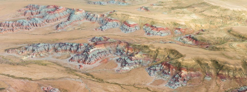
“It is a testament to the dedication of all who love and care for the lands within the Rock Springs Field Office that the proposed plan includes some robust, durable, and reasonable conservation measures for the Northern Red Desert and Big Sandy Foothills. We applaud the BLM for making the hard decisions necessary to ensure these wild and working landscapes continue to thrive for future generations to use and enjoy,” said Lauren Marsh, BLM program manager for Wyoming Wilderness Association. “We are, however, disappointed that some key provisions in the draft RMP were not carried forward in the proposed plan, namely recognizing Lands with Wilderness Characteristics (LWCs) and important protections for the hoodoo-studded wildlands surrounding Adobe Town. Nevertheless, we appreciate the willingness of the BLM to take to heart the concerns of local Wyoming residents as expressed through public comment and recommendations from Governor Gordon’s task force. What you see reflected in the plan for the northern portion of the Field Office — and taskforce recommendations — is how much Wyomingites value wildlife and the wildlands that support them, even under the demands of a largely extraction-based economy.”

The issuance of the Proposed Resource Management Plan and Final Environmental Impact Statement initiates a 30-day public protest period and 60-day governor’s consistency review. The agency will finalize the plan after resolving issues raised in these processes.

For more information, contact:

Carl Fisher, Executive Director, Wyoming Outdoor Council, (801) 910-7487,
carl@wyomingoutdoorcouncil.org

Lauren Marsh, BLM Program Manager, Wyoming Wilderness Association, (205) 807-4783, lauren@wildwyo.org

Max Owens, Communications Manager, Wyoming Outdoor Council, (307) 488-3451, max@wyomingoutdoorcouncil.org

Field Notes


A Wyoming guide to recent Bureau of Land Management rules and land use plans

A Wyoming guide to recent Bureau of Land Management rules and land use plans

Over the past year, the Bureau of Land Management has been busy with a bevy of rules that, once finalized, will impact public lands across Wyoming and the West. (You might remember hearing from us about the Public Lands Rule, Methane Rule, and Oil and Gas Rule — and you may have even written comments on these proposed rules.) Now, it seems April is the month that all these efforts have begun to bear fruit: With near-weekly announcements of finalized rules, it’s certainly been a busy time for the agency. And, I’ll add, for anyone trying to keep up!

Fortunately, these new rules contain plenty of conservation victories worth celebrating. But we can’t blame you if keeping them straight has led to some serious head-scratching.

To add to the confusion, the publishing of these rules has happened alongside the comment periods for additional BLM land use plan revisions and proposed rules. (With any luck, we’ll have even more to celebrate when the Western Solar Plan, Rock Springs Resource Management Plan, and updates to the rangewide Greater sage-grouse plan are finalized.)

Whether you’ve been closely following the news, are just tuning in, or are one of the many WOC supporters who shared comments with the BLM, this quick guide will help you get a handle on the agency’s recent activity — and what each of these rules and plans means for Wyoming’s public lands and wildlife.

RECENTLY FINALIZED BLM RULES

PUBLIC LANDS RULE

The Public Lands Rule adds conservation to the list of multiple uses allowed on public lands, placing it on equal footing with uses such as grazing, energy development, and recreation. It does not prevent oil and gas drilling, mining, or grazing on public lands — but it does enshrine protection and restoration as necessary components of responsible management. In doing so, our wildlife habitat, areas of cultural importance, water quality, and landscape intactness all stand to benefit.

The BLM manages 18.4 million acres of land across Wyoming — nearly one-third of the state. While drought, wildfires, and decreasing land health threaten these lands, the Public Lands Rule provides a cohesive framework for implementing conservation measures to address these threats and slow negative impacts from climate change — while continuing to manage for the many uses of these lands that allow Wyoming communities to thrive.

OIL AND GAS RULE

The most significant update to oil and gas leasing on federal lands in decades, the Fluid Mineral Leases and Leasing Process Rule directs development away from lands with little to no potential for oil and gas — thereby allowing better management of places with important habitat, recreational values, and cultural resources. It also ensures that companies set aside more money to plug wells after drilling, which is significant considering that previously, required clean-up money would have covered the cost of fewer than one out of 100 wells. These common-sense reforms, that follow in the footsteps of state policy, are a win for the health of Wyoming landscapes and for Wyoming taxpayers, as increased oil and gas royalty rates will result in better returns for Wyomingites and fund vital public services.

METHANE RULE

This rule aims to reduce emissions of methane, a potent greenhouse gas, from oil and gas operations on public lands. Also known as the Waste Prevention Rule, it updates regulations more than 40 years old by requiring oil and gas operators to take reasonable steps to prevent wasted methane during operations such as venting and flaring. The reduced emissions will benefit Wyoming’s air quality, and conserved methane will be available to power homes and industries. Through additional required royalty payments on natural gas emissions that could have been avoidable, the rule will also ensure Wyoming taxpayers are fairly compensated for natural gas that is unnecessarily wasted during production.


(Note: While similar in aim, this rule is separate from the Environmental Protection Agency’s final methane rule, which was published in December 2023. BLM’s rule curbs wasted methane on federal and Tribal lands and will go into effect this summer, while EPA’s sweeping rule curbs methane emissions on both public and private lands and will take several additional years before it is enforceable.)

RECENT BLM PLANS OF NOTE, YET TO BE FINALIZED

UPDATED WESTERN SOLAR PLAN

This region-wide plan (also known as the Solar Programmatic Environmental Impact Statement) will identify the best locations across 11 Western states for future utility-scale solar development on federal lands, along with areas that should be closed to solar. By proactively screening for wildlife, sensitive habitats, cultural resources, and other values and resources, it aims to reduce foreseeable land use conflicts. Our climate future depends on the addition of renewables to our energy portfolio — and the Western Solar Plan represents an opportunity to ensure solar doesn’t come at the cost of our iconic wildlife and other Wyoming values.


The Western Solar Plan is currently in draft form, and the period for comments on the plan concluded earlier this month. If you wrote to the BLM in favor of responsibly sited solar in Wyoming, thank you! Read WOC’s Western Solar Plan comments here.

Updated Greater Sage-Grouse Management Plan

Building off the BLM’s 2015 and 2019 plans for Greater sage-grouse, this plan enhances protections for this most-loved of Western birds — a prominent symbol of the threatened and ever-diminishing sagebrush biome. Drawing on ample new data and research, the update covers 77 resource management plans across 10 Western states, including Wyoming. Because the BLM manages the vast majority of Greater sage-grouse habitat on the continent, it is imperative that the agency takes bold action with this plan revision to shore up remaining, quality habitat and stave off further declines. As we dive deeper into the plan’s management alternatives, count on us to keep you informed and keep your eye out for opportunities to speak up for sage-grouse protections. Wyoming is the beating heart of the sagebrush biome and what happens here has outsize implications for the bird’s future, so your participation and local knowledge will be of added benefit to the agency. The plan is currently in draft form, with a public comment period ending June 13.

Rock Springs Resource Management Plan

A plan nearly 12 years in waiting, the Rock Springs Resource Management Plan outlines how much of the northern Red Desert — including the Big Sandy Foothills, Adobe Town, and more — will be managed for the next 15–20 years. The draft plan favors conservation of the Red Desert’s extraordinary habitat, cultural resources, and wide-open spaces while protecting opportunities for recreation. In December, WOC represented conservation on a task force convened by the governor to form consensus recommendations for the BLM alongside livestock, oil and gas, sporting groups, and other interests. Much common ground was found as we defended the Red Desert’s key landscapes from potentially damaging proposals.

There’s a good chance you heard and answered our calls to advocate for the Red Desert’s treasures. The public comment period on the draft RMP ended in January, and we’re confident that your passionate advocacy will result in a strong final plan. Thank you for your many supportive comments.

THANK YOU

As time marches on, it’s essential that we continually revisit, refine, and revise the rules and plans guiding management of our public lands. The items listed above are the finalized and in-progress products of this important process. They represent the modernizing of old policies that often had the effect of undermining conservation interests. They are also significant strides towards more proactive management of our public lands.

Importantly, the true value of these rules and plans lies with the public input that helped to build them. They are valuable because people like you spoke up — people who care for, understand, recreate or work on, live near, and love these public lands. As these frameworks for management move from draft stage to final rule or plan, we can’t thank you enough for your support and advocacy. Wyoming’s public lands are better for it!

Have lingering questions about recent BLM rules and land use revisions? Send us an email or write a comment below.

Field Notes


A wildlife legacy to uphold

A wildlife legacy to uphold

IMAGINE THIS: It’s spring in Wyoming’s Red Desert, and daybreak unfolds around you. As the sun crests the horizon and illuminates mile upon mile of open sagebrush country, the songbirds’ dawn chorus reaches its crescendo. Sage thrashers and Brewer’s sparrows sing their hearts out. At intervals, the resonant “wups” of displaying Greater sage-grouse join in. Far in the distance, bands of mule deer amble along a well-worn game trail, browsing their way towards summer pasture as the snows recede. A pair of ferruginous hawks wheel overhead in the brightening sky.

Image: ©Scott Copeland Images

It’s a scene that has played out largely unchanged for millenia. Whether today, 100 years ago, or 10,000 years ago, people have experienced the vastness and natural bounty of the Red Desert. These days, as wildlife and the lands they rely on are increasingly whittled into the margins, fewer and fewer places on Earth can offer the same. The Red Desert’s immense territory of sagebrush is a precious thing, supporting groups of species you can’t find many places in North America anymore. It is worth our time and toil to keep it whole and healthy for those who come after us.

Thankfully, we have a brief opportunity to make a big impact. With the revision of the Rock Springs Resource Management Plan by the Bureau of Land Management, the managers who oversee land use in the Red Desert are reassessing everything. The agency will carefully weigh public comments as it decides how best to manage these lands for decades to come. If we want to uphold the Red Desert’s extraordinary wildlife legacy, now is the time to speak up in favor of management directives that will help conserve the area’s exceptional natural resources.

Image: Ken Driese

The BLM is choosing between management actions that will make a real difference to the wildlife that depend on these lands for their survival. Whether you want to see the world’s longest mule deer migration persist, provide desert elk with safe birthing grounds, ensure better nest success for hawks and eagles, or see the most densely populated Greater sage-grouse habitat on the planet protected, your input during this process is critical. With foresight and careful management, generations of people and animals yet to come will be able to experience the Red Desert much the same as those who came before. The opportunity to make that careful, balanced management a reality is here — and it is up to us to speak to the values we hold dear on this landscape.


The Bureau of Land Management is accepting public comment on the Rock Springs draft Resource Management Plan through January 17. To make a comment, visit our Red Desert action page. To learn more about provisions in the plan relating to wildlife, don’t hesitate to reach out to me via email.

Field Notes


Q&A: An Eagle-Eye View of the Red Desert

Q&A: An Eagle-Eye View of the Red Desert

In Wyoming’s Red Desert, the necessity of truly big-picture, holistic thinking around conservation advocacy is on full display. For one, it’s home to big game herds that require intact habitat throughout the length of migration corridors that span hundreds of miles. For another, it’s a place that has been stewarded by people for millennia, whose descendents are still here — and whose voices are critical for any conversations about how this land should be managed.

While obstacles to this kind of big-picture thinking are many, the sheer scale of the landscape presents a unique challenge: At more than a half-million acres, how do you wrap your mind around an area the size of the Red Desert?

Recently, Tribal Engagement Coordinator Big Wind Carpenter worked with EcoFlight, a Colorado-based organization, to share a bigger-picture perspective of the desert … from high above, in a small 6-seater propeller plane!

During the flights, Big Wind narrated a loop over the Red Desert for Eastern Shoshone and Northern Arapaho elders, pointing out many of the cultural resources that hold special significance for more than a dozen Tribes with connections to the land. We sat down with Big Wind to hear about their work with EcoFlight and to learn what insights might be gained from taking to the skies.

[Interview edited for length and clarity.]

Images: EcoFlight

You’ve been sharing the values of the Red Desert with others for years now, but primarily with vehicle tours. How does EcoFlight fit into the work you’ve been doing there?

You could spend your entire life exploring the Red Desert — it’s that big of a landscape. When we leave Lander on a vehicle tour, whether we’re taking elected officials, Tribal people, WOC members, or donors, we know that it’s going to be an all-day trip, because a lot of these areas have long distances between them.

For people who don’t have that time or that mobility, I think it’s important that we try to work out a different tour for them. The intention for this year’s flight was to get some Tribal elders out there. We were able to get Reba Teran, an Eastern Shoshone elder and language teacher, and Mary Headley, a Northern Arapaho elder who teaches at the Arapaho Immersion School, to join us. And then they also brought their helpers with them because they have mobility issues. We’re trying to make sure that people who have mobility issues are still able to see these places, and have these discussions.

Tell us a little about your flight path — which parts of the Red Desert did you get to see?

We did two flights that morning, and we kind of did a loop of everything north of I-80. We left the Lander airport early that morning, flew over Red Canyon, flew to where the Great Divide Basin starts over by the Oregon Buttes and the Honeycomb Buttes. Then we moved down to the Killpecker Sand Dunes and Boar’s Tusk. From there, we flew over the White Mountain petroglyphs, checked out Steamboat Mountain, and came back up through the Wind River Range.

For someone like you, who has spent so much time out in the Red Desert, what’s it like to see it from the air?

I think the Red Desert is such a special place, because it has all of these different microhabitats within the area that it covers. You have the south side of the Winds, and the sand dunes, and areas of sagebrush. The plains, the desert, and the mountains meet in this area, but you don’t understand completely until you’re thousands of feet above it. I think the EcoFlight is a very powerful tool to be able to visualize how interconnected these habitats are to one another. It’s such a beautiful thing.

Could you share some of the highlights of the flight?

Being able to see the sand dunes moving in real time was a highlight. The Killpecker Sand Dunes are the largest living sand dune field in North America. When you’re on the ground, there’s always a steady wind, and you can kind of see the sand moving. But when you have a bird’s eye, you can actually see where they’re traveling across the landscape.

Also, there were also some pretty good migrations of antelope coming down off the mountains. Especially knowing how diminished those populations are after last winter, it was amazing to see just how resilient these animals are to be migrating across the land.

What was it like to share an aerial view of the Red Desert with the elders who joined you? And with other, younger Tribal members?

For both Reba and Mary, especially as culture and language teachers, I think it was important for them to be able to tell us the names of these places, and what those names meant, and why they were named a certain way. As an Arapaho person myself, being in a situation where Mary was educating other Arapahos who didn’t know those areas was really impactful. I have Shoshone family (although I’m not a Shoshone Tribal member), so being out there with Reba and hearing their stories, hearing their names, and why they’re named those things felt very impactful to me, too.

Over a dozen Tribes have relations with that landscape: The Shoshone, the Crow, the Cheyenne, and many others have stories about that land and their connection to that landscape. Some of those Tribes, their stories go back thousands of years. So I think it’s really important that not only are those stories told, but that those stories are shared with the next generation. Not only did we have the elders, but we had young people on both of those flights who were able to hear from the elders, and I think that made this very significant.

I think that’s interesting, because you’re in a role where you’re the tour guide. But you’re also learning from your elders, too.

Yeah. I think that’s a part of our culture, as Indigenous people. We look to our elders for guidance, we look to our elders to be able to tell stories. There’s places like the Birthing Rock, and the White Mountain petroglyphs, and all these other sacred sites that are found in the Red Desert. If we don’t relay this information, it will be lost. So it’s important to ensure that our elders are able to have the space to pass on these stories to young people.

Field Notes


Rock Springs RMP: An extraordinary opportunity to protect the Red Desert

Rock Springs RMP:

An extraordinary opportunity
to protect the Red Desert

FOR OVER A DECADE, we’ve been eagerly anticipating — and preparing for — the release of the Rock Springs Resource Management Plan. The RMP, issued by the Bureau of Land Management, would have enormous implications for the future of the world-renowned and beloved Red Desert, the largest unfenced area in Wyoming and home to some of our state’s most iconic wildlife.

We’re thrilled to say that after 12 years of waiting, the moment has finally arrived! On the morning of August 16 (while Wyoming Outdoor Council staff gathered around a conference table for a regular program meeting, in fact), we learned that the draft RMP had just been published.

Not only is the draft plan extremely favorable to conservation, but it aligns closely with the Red Desert values WOC has worked so hard to connect people with over the last several years.

Images: Joe Riis

With its strong protections for wildlife, cultural values, wide-open spaces, and recreation, there’s a lot to be excited about in the draft RMP. The draft includes four management alternatives, and the BLM’s preferred alternative affords the highest levels of protection. This conservation-focused alternative will:

  • Protect high-quality habitat for Greater sage-grouse and all our treasured wildlife species.
  • Maintain and expand closures for oil and gas development to fully protect winter range and migration corridors for mule deer, pronghorn, and elk herds.
  • Preserve significant cultural and historical resources and protect Indigenous traditional ecological knowledge.
  • Ensure unparalleled opportunities for hiking, camping, hunting, biking, and other recreational activities now and for generations to come.

Supporting the draft plan’s preferred alternative is the best opportunity we’ve ever had to secure lasting protections for the Red Desert. 

Images: Josh Milek, Ken Driese, ©Scott Copeland Images

This is an exciting moment, but our work is far from done. Since the RMP’s release, we’ve entered into the BLM’s 90-day public comment period. Now is the time to speak up for this cherished landscape. Every voice matters. Together, we can ensure the Red Desert may be enjoyed now and well into the future.

From now until mid-November when the public comment period closes, WOC will be working with its partners, members, and other Wyomingites to support a strong final plan. We need your help, too: Over the next several months, we’ll keep you up-to-date with information on public meetings, letter-writing parties, and other events. (If you haven’t signed up to receive our emails, now is the time — we’ll be sharing how you can use your voice to make a difference!) And, of course, we’ll continue to celebrate the Red Desert, its significant cultural values, world-famous wildlife and migration corridors, and its unparalleled recreation opportunities and wide-open spaces.


Stay up to date with the latest news, events, and opportunities to show your support for the Red Desert when you sign up to receive emails from the Wyoming Outdoor Council.

Field Notes


Story Behind the Photo: Barbara McMahill

Join Barbara and other photographers by submitting your own shot of Wyoming for the Outdoor Council’s 2024 Calendar Contest. You can enter your photos via Instagram or email. To submit your photo(s) via Instagram, you must have a public Instagram account so that we’re able to view your submission. Upload your photo(s) and add the hashtag #OurWyoming.

To submit your photo(s) via email, send your photo(s) to claire@wyomingoutdoorcouncil.org.

For more information about the contest, visit our calendar contest page.


Barbara McMahill saw a photograph of a Greater sage-grouse on a magazine cover a few years ago and was instantly enamored. When she mentioned the bird to a local Lander friend, she was told that it was actually possible to visit the bird’s breeding grounds, called leks, to watch them in the early spring. It wasn’t long before McMahill found herself at the edge of the Twin Creek lek, about 20 miles from Lander, watching the spectacle herself. She now goes out with her camera every year.

“It’s always special,” she says of viewing the sage-grouse, “because you need to wake up suuuuper early to see it. But they really do put on an amazing show. It’s just beautiful to watch. In the end, you do have to sit for quite awhile and it’s usually cold, but when the sun starts to come up over the horizon, there are five to seven minutes of just incredible light. I cannot even describe it.”

That’s why McMahill takes her camera — so she can attempt to capture a moment that is indescribable in words so that others can experience it, too.

“I’m no professional photographer,” she laughs. “I’m a veterinarian. But photography has always been present in my life. I was given my first camera as a present from my family when I was in fourth grade and I started to take photography a little more seriously about 20 years ago. Now, I just have fun trying to capture the beauty of each scene and sharing those with others. Sometimes, like that sage-grouse image, the moment just isn’t describable.”

The image she took that won placement in the 2022 calendar is a male sage-grouse in the snow-dusted grass. His speckled brown and gray wing feathers frame a white, fluffy chest concealing two vibrantly yellow air sacs. “The sun was hitting him just right,” McMahill says of the moment she pushed the shutter. What’s even more amazing about this display that the camera can’t capture, she explains, are the sound effects. During the sage-grouse’s mating dance, there are vigorous wing swishes and a series of clipped, soft coos before two pops as their air sacs expand. It’s truly a sight to be seen — and a sound to be heard.

McMahill wasn’t always so interested in birds. She grew up in Lisbon, Portugal, a city where “birds for me were either pigeons or sparrows,” she says. When she moved to Lander with her husband 10 years ago, she started to notice the diversity of birds in the region compared to her hometown. When COVID-19 sent many of us inside, and our attention was drawn longingly out our windows, McMahill became curious about birds and invested in a telephoto lens to better capture the feathered creatures that visited her backyard. She’s since found some bird-watching friends in Lander and has learned a lot from them as well as the Merlin app, a global bird guide for mobile devices. In addition to sage-grouse, she adores the springtime vocals of the meadowlarks and the return of the mountain bluebirds to the barren but budding tree branches each year. (She submitted a photo of a bluebird too, which we also selected for the calendar.)

McMahill never planned to live in Wyoming, but she’s glad she does. Not only is the local community a constant source of joy, fun, and support, but, “I’m surrounded by beauty.” She spoke of a recent trip to the Red Desert for the first time with her family. “It looks like a place that has been home to not only a lot of different groups of people, but also a diversity of animals for years and years. I realize that keeping these places as they are is very important. It’s part of the reason I — we all — want to live here.”

It [The Red Desert] looks like a place that has been home to not only a lot of different groups of people, but also a diversity of animals for years and years. I realize that keeping these places as they are is very important. It’s part of the reason I — we all — want to live here.

— barbara mcmahill

In fact, the Greater sage-grouse relies on landscapes like the Red Desert — large, intact, fenceless areas of sagebrush steppe — for its survival. And it’s not only sage-grouse, but thousands of other species as well. In recent years, this habitat has been dwindling across the West, and as a result, so too have sage-grouse populations that can survive nowhere else. The Red Desert is of particular importance to sage-grouse conservation efforts as it hosts the highest density of sage-grouse on Earth. In peak years you can find more than 100 males visiting leks in this region, whereas other leks average only 20-35.

Local efforts to protect Wyoming’s sagebrush steppe and the sage-grouse who rely upon it are ongoing— we’ve often discussed the importance of the Greater Sage-Grouse Core Area Protection Executive Order signed in 2008 by then Gov. Dave Freudenthal and renewed by his two successors. In addition to this state strategy, there’s a new opportunity on the horizon for further protections for sage-grouse: the recently released draft Rock Springs Resource Management Plan from the Bureau of Land Management. It’s a land use plan that’s been 12 years in the making, and in one alternative, the agency would rebalance management priorities to better support conservation in addition to other uses. This alternative would close much of the Red Desert — which includes significant portions of sagebrush steppe — to industrial development. This is in stark contrast to current management where a majority is open to development and poses a threat to sage-grouse habitat.

We’ll keep you updated on the ways in which you can make a difference in protecting this habitat and all the species, including the Greater sage-grouse, who rely on it for their survival.

And we’re grateful for photographers like McMahill who wake up before dawn and brave the cold to capture this one-of-a-kind spectacle every spring. It’s images like these that allow us at the Wyoming Outdoor Council to better tell the story of the iconic Wyoming species who share their home with us. If you’ve taken your own wildlife shots, send them to us! Our calendar contest is open until September 15 — and this year there are prizes and a chance to have your work in an exhibit. You can read more here.

Field Notes


Scenes from Run the Red and Wyoming Public Lands Day 2022

The eighth annual Run the Red trail race took off from South Pass City Saturday, Sept. 24, 2022 celebrating Wyoming Public Lands day with a testament to our incredible public lands. Over 260 runners — the most in the history of the event — stepped up to the challenge, venturing into the vast and beautiful Red Desert to tackle either the half marathon, 50K or grueling 100K distances.

Together with co-sponsors Wyoming Wilderness Association and National Outdoor Leadership School, the Wyoming Outdoor Council has anchored conservation into the character of this nationally recognized trail race: all participants supported Citizens for the Red Desert with a small donation or participated in a volunteer stewardship project at South Pass. Special thanks to WOC engagement coordinator Kyle Elmquist, our partners, and everyone who volunteered to make the day memorable!

Photos courtesy of our race directors at Everlong Endurance.

Field Notes


How will you celebrate this Wyoming Public Lands Day?

We all know that Wyoming is a special place. We are fortunate to live in a state where we can recreate on mountaintops, marvel at open vistas, watch wildlife roam, and take a moment to connect with the land and one another. Over half of Wyoming is public land, and all of it is the ancestral homeland of Indigenous people. It deserves to be celebrated.

This Saturday, Sept. 24, offers the perfect opportunity to do just that as the state marks the fourth annual Wyoming Public Lands Day — which was established by the state legislature in 2019 thanks to the work of the Keep it Public, Wyoming coalition.

Wyoming Outdoor Council staff and our partners at NOLS and Wyoming Wilderness Association will be out in the Red Desert, hosting the eighth annual Run the Red trail races. If you’re joining us, I look forward to seeing you! If not, I encourage you to get outside with friends or family to celebrate everything Wyoming offers us.

Whether you are camping in the Bighorns, riding your bike through Vedauwoo, or hunting pronghorn in the Great Divide Basin, the Outdoor Council wishes you a very happy Wyoming Public Lands Day. It is also important to acknowledge that all public land was once Tribal land. Remember to visit with respect as many of these places are sacred to the distinct Tribal nations that have both historical and contemporary connections to Wyoming’s public lands.

Be safe and responsible. Have fun. Give thanks.

P.S. Vedauwoo’s name comes from Biito’owu’, an Arapaho word for Earth.

Field Notes


ANOTHER SEASON IN THE RED DESERT

This spring, John Mionczynski a local ethnobotanist, biologist, and historian, accompanied Citizens for the Red Desert into the landscape to help educate and inform tour participants about the natural wonders and uses of the desert ecosystem. Above, you can see him pointing out the geological anomalies of the Great Divide Basin as tour participants take in the dramatic expanse of badlands throughout the Honeycomb Buttes Wilderness Study Area. Off in the distance, stand the Oregon Buttes, another WSA. Part of Mionczynski’s knowledge includes the abundance of edible and medicinal foods that grow throughout the Red Desert. Pictured above, he digs up biscuit root for tour participants and explains how this root vegetable was a staple for an Indigenous diet, often ground into flour and made into bread. Later on the tour, near a bubbling spring, Mionczynski explained how water is a precious resource. This spring, and others like it, are scattered across the desert and attract wildlife from miles around and support a thriving habitat.

In late May, CfRD joined Southwest Wyoming Off-Road Trails on a tour to explore the motorized recreation potential of the area. This is one of many groups who add value to the desert and show that working together can simultaneously support the landscape, stimulate local economies, and empower our communities. Above, you can see the way these ORV enthusiasts spent their day in the desert, taking in the scenes near Oregon Buttes and the White Mountains.

On June 28, members of Citizens for the Red Desert spent another day in the desert, visiting three sacred petroglyph sites and the Boars Tusk. Yufna Soldier Wolf, the Tribal advocacy coordinator for the Indigenous Land Alliance of Wyoming, is pictured above, discussing ways in which we can better manage and protect these sites, especially within the context of the forthcoming Bureau of Land Management’s Rock Springs Resource Management Plan.

Field Notes


LET’S CELEBRATE WYOMING PUBLIC LANDS DAY, WHILE REMEMBERING A TROUBLED HISTORY

LET’S CELEBRATE WYOMING PUBLIC LANDS DAY, WHILE REMEMBERING A TROUBLED HISTORY

This Saturday, Sept. 25, is Wyoming Public Lands Day.

Beginning in 2016, the Keep it Public, Wyoming coalition pushed back against attempts in the Wyoming Legislature to facilitate the transfer of federal public lands to the state. Were such a scheme successful, Wyoming would have needed to sell off the bulk of these lands to afford to manage the rest. In response to these efforts, the coalition decided to push for legislation that would instead celebrate public lands in Wyoming and their many values. In 2019, a bill sponsored by Rep. Andy Schwartz passed the legislature to create Wyoming Public Lands Day.

As we approach this state holiday, we’re also acutely aware that public lands are ancestral lands. Indigenous people called these lands home for millennia, until the U.S. government forcibly removed them. The Northern Red Desert — where the Wyoming Outdoor Council will be co-hosting the Run the Red trail races on Saturday — was used by Tribes including the Ute, Goshute, Paiute, Bannock, Arapaho, Cheyenne, Lakota, and Crow, and in particular was home to the Eastern Shoshone and Bannock people for at least 13,000 years. The first Fort Bridger Treaty recognized 44 million acres as those of the Eastern Shoshone Tribe, but within five years, due to the discovery of gold and other minerals and the settling of immigrants, the U.S. government reduced the boundaries to roughly 2 million acres — what is now the Wind River Reservation. In 1878 the Northern Arapaho and Eastern Shoshone people were forced to live on the reservation together after the U.S. government broke its promise to the Northern Arapaho Tribe that it would have its own reservation. Eastern Shoshone and Northern Arapaho people — as well as citizens from numerous other tribes including the Shoshone Bannock, Ute, Mountain Ute, Southern Ute, and Paiute — retain strong ties to the Red Desert.

Today, our public lands offer an array of experiences: from ceremonial to recreational. Even if you don’t have the opportunity to get out and enjoy our public lands on Saturday, we hope you’ll take a moment to appreciate how fortunate we are to have these lands at our doorstep — and the shared responsibility to care for them now and for future generations.

Most of the Wyoming Outdoor Council staff will be spending the day at the Wyoming Public Lands Day celebration in South Pass City. If you’re in the neighborhood, we hope you’ll stop through to enjoy some great food, live music, the Wind River Dancers and Big Wind Singers, and fellowship with folks who love public lands — and this special corner of Wyoming in particular.

SEE THE EVENTS SCHEDULE