fbpx

Field Notes


Story behind the photo: BRANDON WARD

Join Brandon and other photographers by submitting your own shot of Wyoming for the Outdoor Council’s 2022 Calendar Contest. You can enter your photos via Instagram or email. To submit your photo(s) via Instagram, you must have a public Instagram account so that we’re able to view your submission. Upload your photo(s) and add the hashtag #OurWyoming.

To submit your photo(s) via email, send your photo(s) to claire@wyomingoutdoorcouncil.org.

For more information about the contest, visit our calendar contest page.


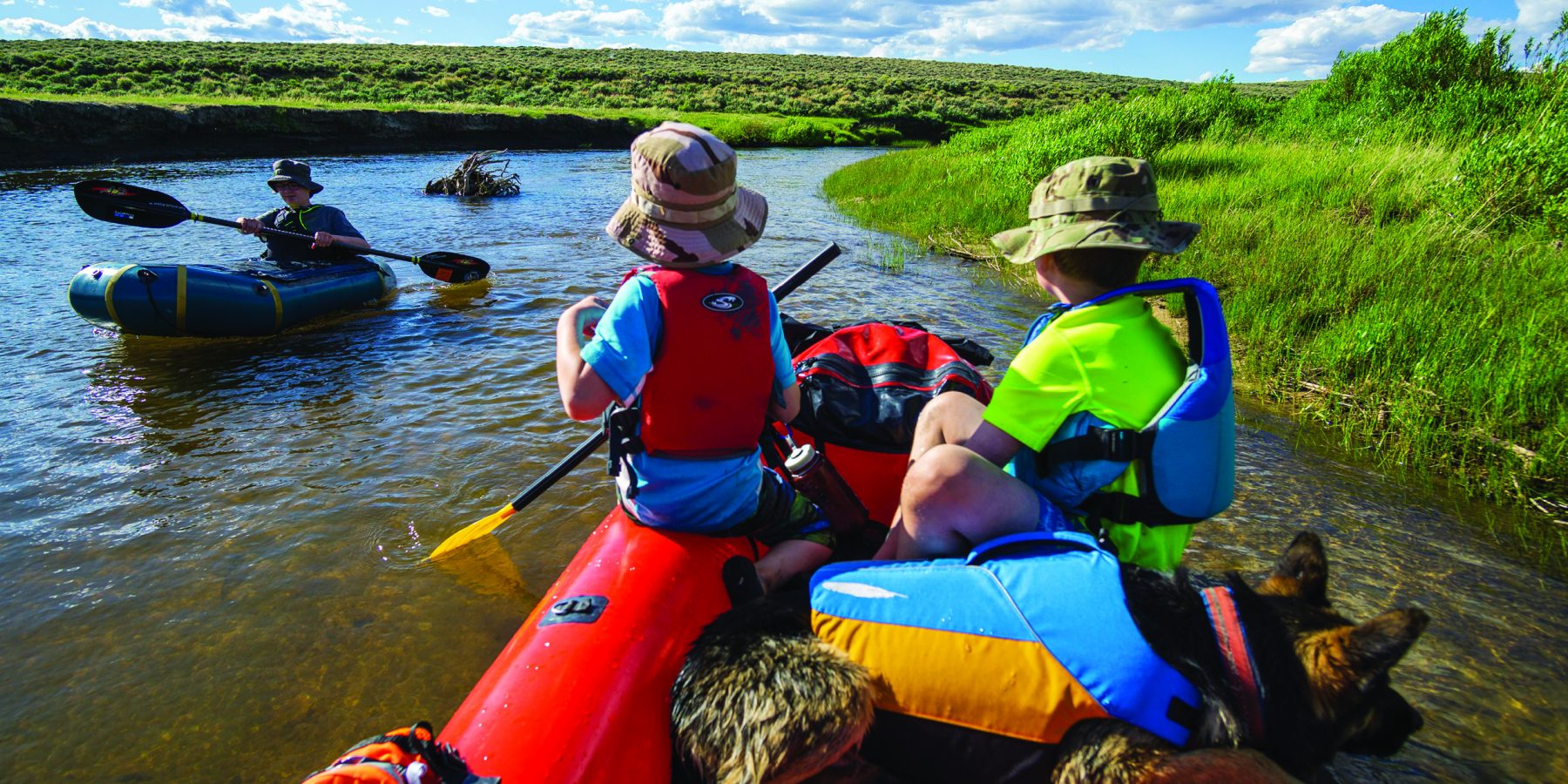
In the 2021 Wyoming Outdoor Council calendar, Brandon Ward’s three sons and their dog make two appearances within the pages: once perched at the smoky summit of Continental Peak, and later aboard pack rafts on the Sweetwater River. If anyone follows Brandon on Instagram (@wyoutside), you’ll see more appearances of his sons, Henry, Tucker, and Sawyer, and their dog, Shep. Brandon, of course, is there behind the lens. 

True to his username, there is only one picture of recent, or within reasonable scrolling distance, on his page that’s taken inside. And his images look rugged, but only because Wyoming is rugged — there are wide sweeping vistas of undulating striated badlands, and clouds forming unique bulges and deep pockets in the dense blue sky. There are steep canyons, and gushing rivers, and granite mountain summits, sure, but there are also his boys, down low and up close, exploring and discovering nature. A reminder that there’s plenty of easy, accessible, kid-sized adventures to be had in this state, too. 

In August, Brandon’s wife Karly goes back to work as a principal in Riverton, earlier than their sons return to school in Lander where the Wards live. Which leaves Brandon as the sole parent during the day for the rest of the month. It’s those few weeks where Brandon gets to spend quality time with his growing boys, which always, always involves the outdoors. 

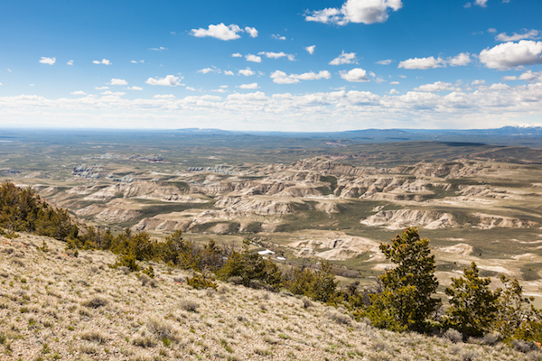
“We get after it pretty hard, me and the boys,” he said with a laugh. “And while it would be really fun to stomp up into the Winds, it’s really equipment heavy.” And so he often takes them out into the Northern Red Desert, a quick drive from Lander, because the recreation out there is easier. “You can have an epic day hike, come back to your car for some car camping, and still see a lot of country.” The photo of his kids up on Continental Peak is something they do together once or twice a year because it’s a hike with “no bugs, no heavy packs, kid-friendly.”

Personally, Brandon likes the Red Desert for numerous other reasons, too. With a big honest grin, he told me that he doesn’t “like a lot of people around.” It’s the reason he moved to Wyoming in the first place after growing up in rural South Carolina and living in places like Georgia, Tennessee, and Colorado. “I’ve lived in big cities. I value low populations. There’s something to me about the lack of people. Even in the Red Desert, although it’s checkerboard with private and public lands, you can still generally pick a cardinal direction and go that way.”

When he takes his kids out, he tries to teach them to appreciate that fact.

“I think all kids in Wyoming sometimes are oblivious to the fact of how good they have it, if their interest is in outdoor recreation and public lands. Everything else in other states seems to be permit- or reservation-based or costs money to see. We have none of that here. Things are the way they are, unaltered by man. And that’s pretty precious and these places are becoming less and less. So I try to tell them to just appreciate it, because who knows what it will look like in 20 years.”

“I don’t know if they get it,” he follows with a laugh, “but at least I try.”

Brandon also has an affinity for the rivers in Wyoming, so another annual Ward family trip includes floating down the Sweetwater. It’s an adventure Brandon has gone on by himself, with friends, and with his family over 20 times, he estimates. Locally, he’s come to be known as the “Sweetwater Whisperer” for the knowledge he’s built over the years.

“I’ve been a river boater in one way or another my whole life,” he said. “From my earliest outings on rivers with my father in my home state to now passing that passion on to my kids here locally on the rivers in my backyard. I hope that they find the joy I have out there on this special river.”

He described the Sweetwater as mostly a gentle gradient, with grass- and willow-lined banks, and never-ending meanders that makes it great for a family adventure. His boys learned to paddle there. And its remoteness contributes to how special he finds it: “It feels like we are completely alone out there and exploring it for the first time.”

He’s been saddened by its degradation and continued levels of pollution, however. And over the years, he’s felt that he’s become more and more conservation-minded in proportion to the time he spends outdoors. 

“It’s hard not to care about these places when you’re within them so much. I’ve come to the realization that I’ve only ever been a recreationalist. I rationalize it as I’ve been a taker, not a giver, and for a rash of reasons this suddenly doesn’t sit well with me. My passion for the outdoors has taken me to many wonderful places and helped mold me into the person I am today. Many of those places are in danger from various threats, including the good-intentioned recreationalist.”

As he’s gotten older and more mature, he’s shifted his focus beyond recreation and has tried to learn about the environment he’s in as well as the current threats to that environment, even if that means grappling with his own impact as a recreationist. He began asking himself, “What can I do to lessen or remove my impacts?” and he’s found interest in sharing what he’s learned, especially with his kids and also as a photographer.

“I like to think that sharing these scenes that I photograph helps people to appreciate wild places they may have never heard of or will never get to go to or do it in the way I often do,” he said. “We are spoiled here in Wyoming with our scenery and remoteness. As a photographer, it’s hard to beat. Around every corner is a place worth appreciating and sharing.”

Field Notes


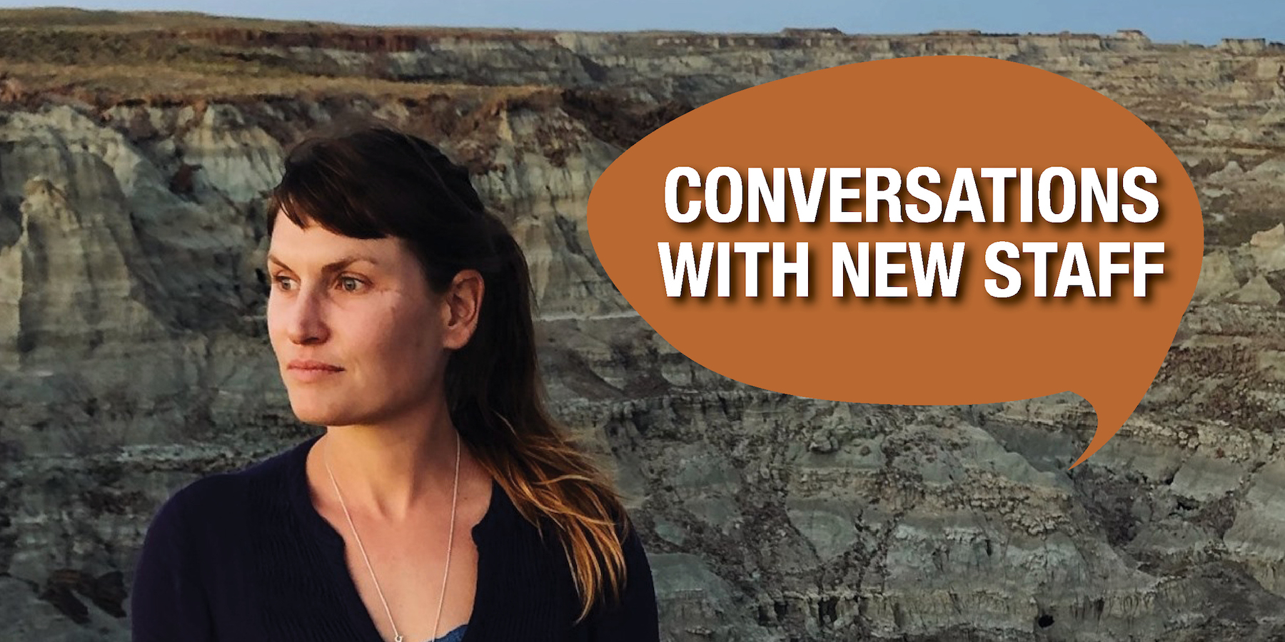
New staff member serves Red Desert citizens’ group

Early in 2020, the Wyoming Outdoor Council became involved with Citizens for the Red Desert, a loose coalition of people from a variety of backgrounds who value Wyoming’s Red Desert and all it has to offer. At the end of the year, as the group began to coalesce further, we brought on Shaleas Harrison to serve as its coordinator. Harrison is a native of northwest Wyoming, an educator, and a former staff member of the Wyoming Wilderness Association who brings a deep knowledge of, and respect for, the Red Desert. 

After a few weeks on the job, here’s what Harrison had to say. 

Tell us a little about yourself 

I grew up on a small, multi-generational farm in northwest Wyoming growing beans and barley, so I feel I have an intimate connection to Wyoming landscapes and the people that live and work here. I studied molecular biology and chemistry for my undergraduate degree and completed my master’s in natural science and environmental policy at the University of Wyoming. My graduate research revealed how people came together to overcome complex socioeconomic, cultural, and political problems of land management in Wyoming. I am also a teacher — connecting people to nature and using nature as a teaching tool. I worked as a teacher on the Wind River Indian Reservation and taught physics, biology, and chemistry in Saratoga and in Baja California, Mexico. My favorite place is Adobe Town in the Red Desert, and I am so excited to be applying all my passion and abilities as the coordinator of Citizens for the Red Desert!

What do you love about Wyoming’s outdoors? 

There aren’t too many places you can go in this world and still hear the cry of a wolf and bump into a grizzly bear on a trail on the same day.  I also have a deep connection to our desert lands. The colors, lines, and textures have a way of cleansing the mind. Wyoming’s intact wild landscapes are our most precious and valued resource. 

Your new position revolves entirely around the Red Desert. Why is the desert special to you? 

Like many deserts, it’s a place that is underappreciated and not well trafficked. It’s a place you can go and not have to book a reservation or worry about your favorite place being “full.” There aren’t any campgrounds, and you can shoot guns or ride your dirt bike or let your dogs roam,  without bothering anyone. I like that about deserts. You can escape the riffraff of towns and even the tourists. While they stick to the mountains, I’m perfectly happy in the desert, even in the middle of July. The vast vistas clear your mind; they teach us things. One has to spend loads of time there to really feel its power, and the Red Desert is powerful and full of so much beauty. It feels right being here and trying to make sure it stays that way. 

What excites you about working with Citizens for the Red Desert? 

So many people for so many years have fought hard to ensure the Red Desert is protected. I really believe this is my calling and a way to give back to Wyoming, the place that has given me so much.


Field Notes


A federal land use plan may have drastic impacts on southwest Wyoming. Here’s how to prepare.

For almost 10 years, we’ve been waiting for the release of the Bureau of Land Management’s draft Rock Springs Resource Management Plan. The release is imminent, the field office announced earlier this summer, but we’ve come to expect delays.

So why is this plan so important? Because it will determine how 3.6 million acres of public lands in southwestern Wyoming are managed for decades to come. This includes the Northern Red Desert, Greater Little Mountain, South Pass and parts of the Oregon Trail, Adobe Town, Devil’s Playground, and the Golden Triangle, as well as the southern portion of the Red Desert to Hoback mule deer migration corridor. Based on recent land use decisions from across the West, we anticipate the Rock Springs plan will sacrifice the hunting and fishing, recreation, wildlife, and cultural values of these lands to facilitate more oil and gas leasing. 

The Wyoming Outdoor Council requested the BLM postpone the plan’s release until the COVID-19 pandemic no longer posed a roadblock to public participation. Other groups made similar requests, including the Sweetwater County Board of Commissioners, but the agency appears to be proceeding. 

So what can you do?

  • WATCH FOR UPDATES FROM US. We’ll let you know how and when to take action. If you don’t already receive our email alerts, now is a great time to sign up. We’ll also share information on our social media channels.
  • SUBMIT PUBLIC COMMENT WHEN THE TIME COMES. Wyoming citizens who know and love these areas — not just appointed federal officials — should have a say in how they’re managed. The 90-day public comment period is your opportunity. We’ll offer you suggestions on how to craft an informative, personal message.
  • SPREAD THE WORD. Effecting changes to the draft will require the full support of all the people who care for this vast and varied part of Wyoming. Not everyone who hunts, hikes, horse packs, or off-roads in these areas will know what is at stake. Forward our emails to friends and family, encourage others to submit a public comment, write a letter to the editor or to the governor, or talk to your county commissioner.

Field Notes


Governor tours the Red Desert with citizens group and Outdoor Council staff

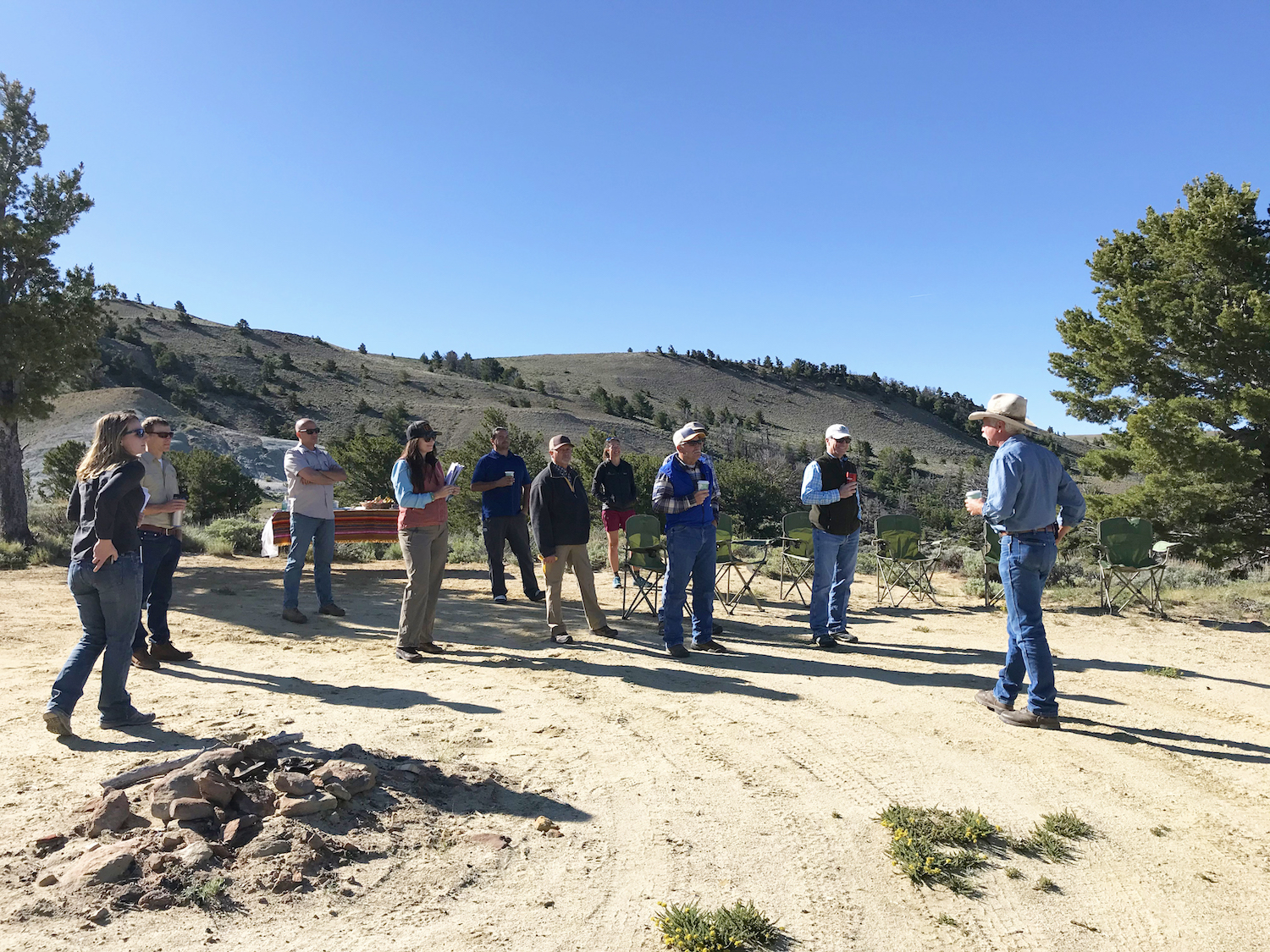
Gov. Mark Gordon spent Thursday, June 11, visiting Wyoming’s iconic Northern Red Desert for a firsthand look at one of the state’s wildest landscapes. The tour was organized by the Wyoming Outdoor Council and our partners to familiarize the governor and his staff with some of the most beautiful and treasured corners of the desert as well as introduce him to citizens representing a variety of interests who value, work in and recreate on this important landscape. Many representatives of Citizens for the Red Desert, a grassroots group, also participated in the trip.

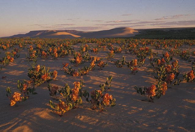
The Northern Red Desert contains nationally-significant cultural and ecological resources, including the greatest concentration of Bureau of Land Management wilderness study areas in Wyoming, crucial winter range and migration corridors for mule deer, pronghorn, and a rare desert elk herd, North America’s largest living sand dunes, historic trails including the Oregon and Pony Express National Historic Trails, and indigenous cultural sites including petroglyphs, buffalo jumps, and other respected places. It is a vast landscape that offers a range of potential for outdoor recreation and hunting, supports ranching, and is considered the largest unfenced area in the Lower 48.

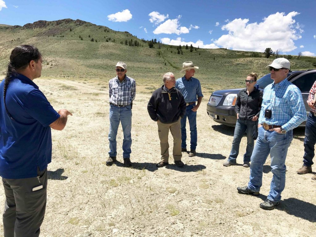
The tour was designed to provide the governor an overview of these special values. Along the way, the governor visited sites such as Whitehorse Creek and the dramatic Honeycomb Buttes wilderness study areas; visited with local rancher Jim Hellyer and his family; heard about the Oregon Trail and westward expansion from Todd Guenther, a Central Wyoming College professor and historian; and met with Rick Lee, director of the Rock Springs Chamber of Commerce and Bobbi Wade, a local outfitter, to discuss outdoor recreational opportunities. Jason Baldes, an Eastern Shoshone tribal member and the tribal buffalo coordinator for the National Wildlife Federation accompanied the trip to highlight the history of indigenous use and current tribal values within this landscape. John Mionczynski, an ethnobotanist and expert on the desert provided additional background on the ecology, geology and history.

Bobbi Wade, a local outfitter, discusses outdoor recreation at Chicken Springs.

The wildlife values of this landscape were in constant view, and the connection of this Red Desert habitat to what’s known as the “Golden Triangle” to the north along the Wind River Front — so named for its wealth of big game and sage-grouse populations — was highlighted by wildlife experts on the trip. Lauren Heerschap, with WyoClimbers and a Wyoming Outdoor Council board member, also shared information about the value of this landscape as the recreational scenic gateway for national and international climbers accessing renowned climbs in the Wind River Range.

Jason Baldes, an Eastern Shoshone tribal member and the tribal buffalo coordinator for the National Wildlife Federation, discusses the historical significance of the Red Desert to indigenous and current tribal members.

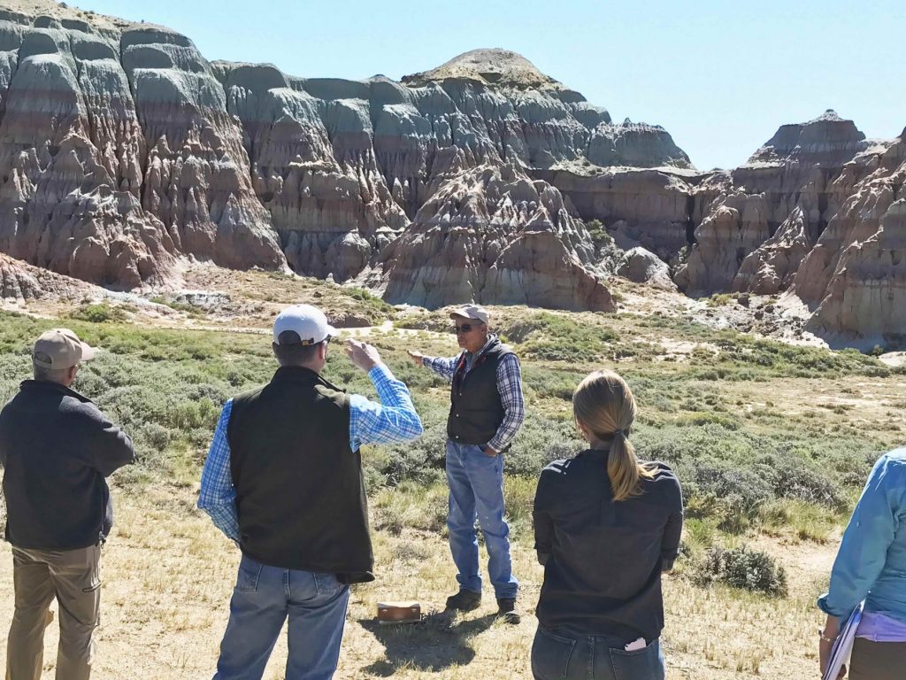
John Mionczynski discusses the Red Desert’s fascinating geological history in front of the Honeycomb Buttes.

The Outdoor Council is tremendously grateful for the governor’s time to take this trip, and we and others benefited from the questions and perspectives he and his natural resource and energy staff shared with us. Gov. Gordon engaged in thoughtful conversations throughout the tour, and was obviously seeking to understand this diverse landscape and the perspectives presented. 

The Red Desert is largely comprised of public lands managed by the BLM. This agency revises its management directives about every 20 years through a public planning process resulting in a resource management plan. The Red Desert’s fate is currently under debate due to the ongoing revision of the BLM’s Rock Springs Resource Management Plan, which will determine how 3.6 million acres of public lands, including the Red Desert, will be managed over the coming decades. Recent plan revisions from elsewhere across the West have stripped designations that protect wildlife habitat, cultural sites, and more.

It is our hope that through the direct experience of this landscape, and his conversations with people who cherish it, Gov. Gordon will see that the Northern Red Desert is a national treasure worth protecting — a place beloved by a diversity of Wyomingites for its many values and uses and deserving of a BLM management plan that will ensure its special values remain for future generations.

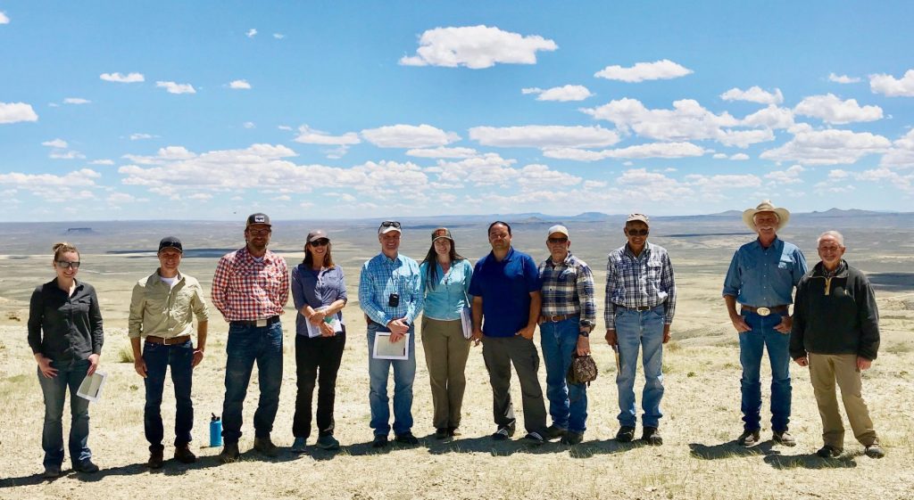
Gov. Mark Gordon stands with members of the tour while visiting the Northern Red Desert on June 11.

Field Notes


Public lands leasing at bargain basement prices

For the past nine years, the BLM has been revising its long-term “resource management plan” for more than 3.5 million acres of public lands in southwest Wyoming — including the Red Desert. Once finalized, this plan will dictate which lands are available for oil and gas leasing — and which will be protected because of their wildlife, cultural, scientific, recreational, or other values. And for nine years, the Wyoming Outdoor Council has been advocating strong protections that will safeguard invaluable resources like our big game migration corridors, historic trails, archaeological and scientific resources, and Native American sacred sites. But if similar plans around the West released under this administration’s “energy dominance” policy are any indication, we can expect the upcoming Rock Springs plan both to remove current protections and open even more lands to development. 

Where’s the balance?

Wyomingites walk the talk when it comes to strong ties to the land and natural resources. We recreate outdoors at far above the national average — hunting, fishing, camping, climbing, skiing, you name it — and the vast majority of us support conserving the landscapes we love and the wildlife that rely on them. We recognize that responsible industrial development on our public lands can benefit our communities, but only if it is done right, in places that don’t sacrifice Wyoming’s natural beauty, open spaces, and abundant wildlife. We might choose to develop our resources carefully, but we all tend to agree: our outdoor heritage is not for sale.

Today, the federal government is not respecting the balance Wyomingites have long fought for. Most of the 30 million acres of public lands in Wyoming are managed for “multiple use,” a congressional mandate to balance a wide variety of resources and values — from hunting and fishing, outdoor recreation, and conserving wildlife habitat to livestock grazing, and industrial uses like mining and oil and gas development. In the Federal Land Policy and Management Act, Congress instructs the BLM to manage public lands to

protect the quality of the scientific, scenic, historical, ecological, environmental, air and atmospheric, water resource, and archaeological values … preserve and protect certain public lands in their natural condition … provide food and habitat for fish and wildlife and domestic animals; and … provide for outdoor recreation and human occupancy and use.

This congressional act also directs the agency to prioritize designating and protecting “areas of critical environmental concern” — places with extraordinary historic, scenic, cultural, and wildlife values. In the Rock Springs Field Office, this designation protects some of our most treasured public resources including the Steamboat Mountain desert elk herd, Historic South Pass, the Killpecker Sand Dunes, and the Oregon and Mormon national historic trails.

Today, the federal government is not managing for multiple use or prioritizing our most treasured landscapes. That’s bad for Wyoming. Across the West, the BLM is leasing millions of acres of public lands for oil and gas development in places with low oil and gas potential potential, while risking other values, such as wildlife and recreation. 

Since 2018, the federal government has leased about 2 million acres of public land in Wyoming — an area the size of Yellowstone National Park — to oil and gas. Much of this leasing has occurred in sensitive wildlife habitat. In fact, in the past two years, the BLM has leased about 55,000 acres within Wyoming’s prized mule deer migration corridors, while roughly half of all leases since 2018 have been in core greater sage grouse habitat, undermining the collaborative West-wide effort that has so far prevented an Endangered Species Act listing for the bird.

The BLM’s forthcoming Rock Springs plan will reassess which lands are available for oil and gas development — including those currently designated as “areas of critical environmental concern” due to their outstanding wildlife, historic, or scenic values. Our hope is that these special places will retain these strong protections, but what we’re seeing in other plans across the West doesn’t bode well for Wyoming: the BLM has consistently removed  “areas of critical environmental concern” designations, ignored public demand for conservation and access, and opened up sensitive wildlife habitat to industrial development. 

In Montana’s Lewistown draft RMP, the BLM proposed removing almost 23,000 acres of ACECs. In a draft plan in Alaska last year, the BLM proposed removing almost 2 million acres of protections from the prior plan. We’ve seen the same story play out in Idaho, Colorado, and Oregon. And Wyoming is next in line. 

But here’s the thing. Despite its “multiple use” mandate, 90 percent of BLM lands nationwide are already available for development. These recent land-use plan revisions put even more public lands on the auction block every quarter, in the very places that need the most protection.

Selling our public lands for the price of a cup of coffee

It’s disheartening to see the BLM locking up our public lands for one industry’s use and jeopardizing our wildlife for dirt cheap. Under this administration, we’re seeing rampant speculative leasing in Wyoming, with oil and gas companies leasing many parcels for the minimum bid of $2 an acre. For the price of a cup of coffee, companies have purchased the right to develop within the longest recorded mule deer migration corridor and in the Golden Triangle, some of the world’s best sage grouse habitat. To add insult to injury, many of these parcels aren’t even bid on, and are sold after auction for as little as $1.50 an acre. And almost half of the leases in Wyoming are sitting idle — tying up our public lands without producing a drop of oil and gas

This is a serious policy failure. The “energy dominance” mandate coming from today’s White House, which prioritizes a single use of our public lands over all others, is a top-down policy that doesn’t respect local priorities or multiple use. It locks up lands for potential industrial development even when there is low oil and gas potential potential — and risks the very resources that make Wyoming special.

We’ll need your help to Protect the Red Desert

The BLM’s widely anticipated Rock Springs resource management plan, which will direct the management of more than 3.5 million acres in Southwest Wyoming, including the Northern Red Desert, could open up even more public lands to development when it’s released in early 2020. If past is prologue, this new plan will remove key protections that Wyomingites have worked for for generations, and make more land available for oil and gas leasing. That’s shortsighted, and it’s not good for Wyoming’s future.

Please stay tuned in the coming months to learn how you can weigh in and help us advocate for a plan that respects balance and protects our most important resources. 

Field Notes


Run the Red 2019 was the biggest on record, and it’s not over yet

DECEMBER 2019 UPDATE: In early 2020, the Bureau of Land Management anticipates releasing the long-awaited draft land use plan for the Red Desert and surrounding areas. The plan will determine which resources are protected and which areas are open to industrial development. This means that important wildlife, cultural, scenic, and archeological resources — like Steamboat Mountain and its resident desert elk herd, the Red Desert to Hoback mule deer migration corridor, Native American petroglyphs and sacred sites, and historic trails like the Oregon and Mormon trails — could be at risk. Stay tuned for updates on the draft and for opportunities to tell BLM and Governor Gordon to stand up for balanced use and to protect the Red Desert. 

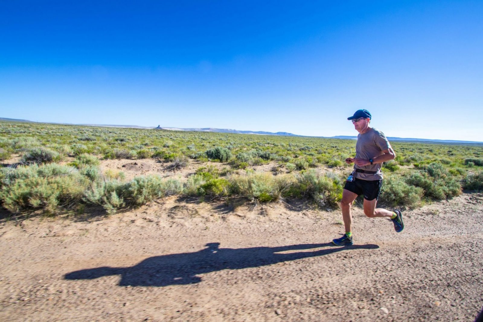
The Red Desert is a land of extremes and poetic contrasts. Depending on the time of year, you could find yourself panting for breath in oppressive heat, stuck axle deep in the mud, or shivering despite being bundled in every layer you own. These challenges — and the chance to test one’s mettle against them — are what make the rugged Red Desert the perfect place to host Run the Red, one of Wyoming’s emerging endurance races.

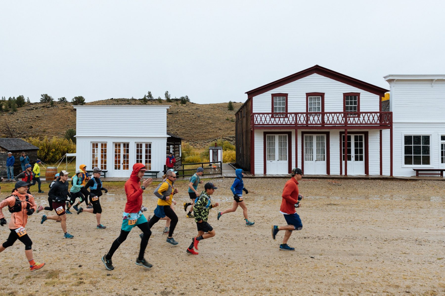
Run the Red is Wyoming’s only ultramarathon designed to raise awareness and advocacy for the Red Desert. This year’s race was held on the state’s first Wyoming Public Lands Day on September 28, with a newly designed course that started and finished at historic South Pass City. Two new distances were also added — a 45K and 90K — so that participants could experience the best of the Northern Red Desert:  imposing views of Continental Peak, the towering Oregon Buttes, and undulating high desert bisected by the Sweetwater River. Despite the challenging weather, which shifted from snow to rain to wind to sun, this year’s race was the most successful on record, bringing 155 runners from all over Wyoming and as far away as Texas and Oregon. 

“Wyoming people are tough,” said Shaleas Harrison of the Wyoming Wilderness Association. She organized this year’s race and the Wyoming Public Lands Day events that followed at South Pass City, along with partners from NOLS and the Wyoming Outdoor Council. The day was full of wet, smiling runners, laughs from hardy aid station volunteers, memories made around drum circles and banjos, and, most importantly, a deeper appreciation for a wild place many Wyomingites hold dear. 

Following the race, runners and locals from Lander and Rock Springs enjoyed a series of events  to celebrate the newly created Wyoming Public Lands Day. A range of speakers — including representatives from the Northern Arapaho and Eastern Shoshone tribes, state legislators, Red Desert experts, and sponsored athletes shared their perspectives about the importance of landscapes like the Red Desert in maintaining Wyoming’s quality of life, wildlife, and rich outdoor heritage. 

Although the race has changed over the years, the goal of Run the Red — to build a connection to a wild landscape — has remained the same. Jonathan Williams, Environmental Stewardship Coordinator for NOLS, couldn’t have said it better:

“The great thing about Run the Red is that it gives people the opportunity to create a deep sense of place for themselves and then carry that forward as advocates for the desert.” 

– Jonathan Williams,
Environmental Stewardship Coordinator for NOLS

In coming months, the Bureau of Land Management, will release its revised land-use plan for much of the Red Desert. There’s a lot at stake. Our hope is that all the runners, volunteers, and participants — along with anyone who cares about this wild landscape — will weigh in and urge the BLM to protect what makes this place so unique. Stay tuned … the race isn’t over yet!

Field Notes


Southwest Wyoming: A working landscape worth protecting

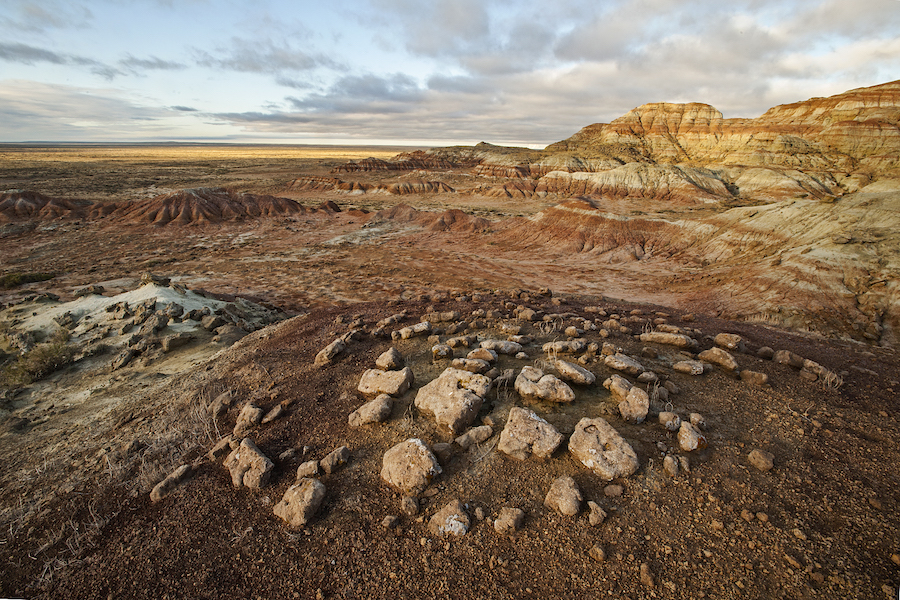
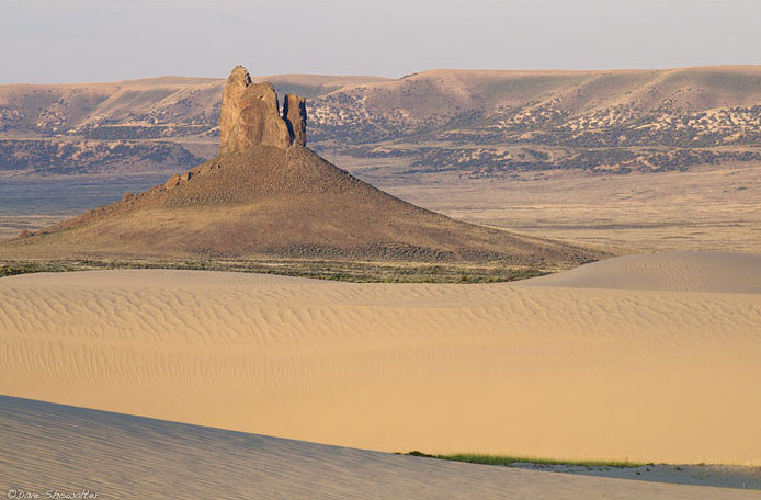
Southwest Wyoming and the northern Red Desert are known for iconic geologic features and breathtaking landscapes that look much the same today as they did millennia ago: Adobe Town, the Killpecker Sand Dunes, Boars Tusk, White Mountain. The Golden Triangle at the base of the Wind River Mountains is one of the most important Greater sage-grouse habitats on earth, and the ancient Red Desert-to-Hoback mule deer migration — the longest in the world — is anchored here.

Wyoming residents have worked together for decades to find ways to protect these special places while enjoying a landscape that, at 3.6 million acres, is big enough to also support motorized use, grazing, and energy development. But now the U.S. Interior’s Bureau of Land Management is poised to strip the hard-fought protections that allow for multiple use in favor just one: oil and gas development.

“This is a landscape that can accommodate many uses,” Wyoming Outdoor Council Conservation Advocate John Rader said. “We have vast open spaces where families can recreate, where we can celebrate our outdoor heritage. There are also places where development is permitted right now. So we’re striking a balance. We have a working landscape that really applies the multiple use approach. We don’t want to sell that out for a single use.”

Local voices lost

Every twenty years or so, the BLM revises its “resource management plans,” which guide how the agency prioritizes uses and protections for particular places. The current plan, in effect since 1997, protects unique places like Steamboat Mountain, the South Pass Historic Landscape, and National Historic Trails, while allowing development in other areas. A revision has been underway for nearly 10 years, and the last time the public was allowed to weigh in was 2011.

 Unfortunately, amid continuous delays and changing administrations, the voices and values of Wyoming residents have been lost in the revision effort. Now, under a directive straight from Washington, D.C., the BLM has indicated it will throw out most of the existing multiple-use protections — which were developed in cooperation with Wyomingites over decades — to prioritize energy development alone. That means hunting, recreation, conserving vital wildlife habitats, and preserving cultural and historic sites will all take a back seat to energy development.

If you hunt those herds, if you hike out in those badlands, if you fish those streams, it’s going to affect you personally.”

— JOHN RADER, WYOMING OUTDOOR COUNCIL

 “Here we are almost a decade later, and we’ve got an administration that wants to strip all the protections for the whole area,” Rader said. The people of Wyoming have agreed that there are some places, some values, that are more important. We recognize the importance of energy development here, absolutely. But there are other values at stake. There’s our way of life.”

Tell local officials: top-down doesn’t work for Wyoming

Despite the slow, muddled revision process, the Outdoor Council continues to work with conservation partners, counties, and others to urge the BLM to honor our shared values in Wyoming. Your voice is crucial, too.

Right now, as the BLM prepares a final draft of the far-reaching plan that will guide how 3.6 million acres of Wyoming’s most special places are managed for the next 20 years, local governments and elected officials in southwest Wyoming have a seat at the table.

And they need to hear from you.

 If you live in southwest Wyoming, please contact your city officials, your county commissioners, and your conservation districts. Tell them that Wyomingites care deeply about the special places in this corner of the state, and that our livelihoods and our way of life here will be undermined by a major overhaul in favor of a single use. Ask them to let southwest Wyoming continue to be a working landscape that balances a full spectrum of uses. And if you live anywhere in Wyoming, consider sending Gov. Mark Gordon the same message.

“We like it the way it is,” Rader said. “We like being able to go out into the Red Desert and explore and hunt, we like being able to hike in the Big Sandy Foothills. And we don’t want a top-down approach from D.C. to come in and take those things away from us.”

To find out how to contact your local officials who can urge the BLM to maintain your outdoor heritage in southwest Wyoming, visit our Public Lands page.

Field Notes


Member Profile: Kathy Jenkins

[et_pb_section fb_built=”1″ _builder_version=”3.22″][et_pb_row _builder_version=”3.25″ background_size=”initial” background_position=”top_left” background_repeat=”repeat”][et_pb_column type=”4_4″ _builder_version=”3.25″ custom_padding=”|||” custom_padding__hover=”|||”][et_pb_text _builder_version=”3.0.74″ background_size=”initial” background_position=”top_left” background_repeat=”repeat”]

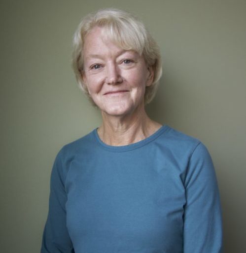
One of the first things Kathy Jenkins did after retiring from her position as a staff attorney for a Wyoming Supreme Court justice was reach out to a Wyoming Outdoor Council board member to ask about volunteer opportunities. After a career in which she’d felt limited in her ability to get involved in advocacy and nonprofit work, Kathy was ready to roll up her sleeves to protect a place she loved.

That was back in 2016. Now Kathy serves on the executive committee of the Outdoor Council’s board of directors and has hosted two successful outreach events in her Cheyenne home with her husband, Mike Shonsey.

She has also become one of the Council’s staunchest supporters.

“The energy at WOC these days is palpable,” Kathy said. “Lisa McGee has pulled together a highly skilled, energetic, and committed staff and it’s exciting to watch them do their work at the legislature and in other public arenas around the state.”

Born and raised in Casper, Kathy’s passion for conservation stems from a lifelong connection to Wyoming first forged by her parents, who moved here in 1948 so her father could pursue a master’s degree in geology. Despite their different backgrounds — Kathy’s mother grew up in a comfortable home in Oakland, Calif., and her father on a small farm in the Appalachian Mountains with no indoor plumbing or electricity — they both embraced Wyoming’s wild places.

It was a shared love they passed down to their daughter. “Thanks to my father, I grew up learning about the unrivaled geology in Wyoming. And thanks to both my parents, I grew up camping, hiking, and fishing all over the state.”

Those firsthand experiences with Wyoming’s rugged backyard nurtured Kathy as a child, and they continue to nurture her today. An avid hiker, backpacker, and cross-country skier, Kathy understands the importance of preserving Wyoming’s special public lands, wildlife, and clean air and water — not only for her own enjoyment, but for the benefit of generations to come.  

She also understands just how much is at stake right now.

New policies out of Washington, D.C., that prioritize fossil fuel extraction over other uses of public lands have put millions of acres of wild lands and sensitive habitat — the heart of our state’s outdoor heritage — in the crosshairs. The same policies also threaten Wyoming’s clean air and water, and exacerbate conditions that cause climate change.

“These are perilous times for our environment,” Kathy said. “It’s urgent that we do all we can to protect what makes Wyoming unique.”

For Kathy, doing all she can to protect Wyoming means donating not only her time, energy, and experience to the Outdoor Council, but giving her financial support as well.

She understands the importance of ensuring that Wyoming’s homegrown statewide conservation group has the necessary resources — year after year — to advocate effectively for the issues she cares so deeply about. And she urges others who share her concern for Wyoming’s wild places to join her in making a meaningful gift to the Council.

“Do it,” she said. “Give as much as you can.”

“Every dollar you give will be thoughtfully, strategically, and carefully spent to protect the things you love most about Wyoming.”

— KATHY JENKINS, BOARD MEMBER

WOC is doing incredible work right now,” she added. “It’s great to be a part of that.”

[/et_pb_text][/et_pb_column][/et_pb_row][/et_pb_section]

Field Notes


Oil and gas lease sales threaten Wyoming’s Red Desert

[et_pb_section bb_built=”1″ _builder_version=”3.0.47″][et_pb_row _builder_version=”3.0.48″ background_size=”initial” background_position=”top_left” background_repeat=”repeat”][et_pb_column type=”3_4″][et_pb_text _builder_version=”3.10″]

[Updated July 24, 2018] We need your help to protect the heart of Wyoming’s wild public lands — the Red Desert! In Wyoming’s most recent state lands oil and gas lease sale, 21 parcels located in the fragile, beautiful Red Desert received bids, and are now under threat of development. The final decision to move forward with these lease purchases will be made by the State Board of Land Commissioners — comprised of Wyoming’s top elected officials, including Governor Matt Mead — on August 9. If oil and gas development is allowed on these 21 parcels, countless invaluable resources will be harmed, including crucial winter habitat for big game, historic pioneer trails, stunning volcanic rock formations, North America’s largest sand dune complex and dozens of other historic, cultural and natural resources.

The state oil and gas lease parcels that dot the Red Desert map, if authorized, would allow for industrial development that could forever harm the entire landscape at an incalculable cost to Wyoming’s wildlife, cultural heritage and outdoor recreation economies. The July state lease sale precedes two federal oil and gas lease sales in September and December that also include parcels in sensitive areas, such as the Red Desert-to-Hoback big game migration corridor. This means the state, if it moves forward with authorization, will only multiply the threat posed by the Trump administration’s “energy dominance” mandate for public landscapes in Wyoming.

“The leasing of these stranded state land parcels for oil and gas development is a scenario for future management conflicts,” Wyoming Outdoor Council Executive Director Lisa McGee stated in a letter to Gov. Matt Mead. “This is because some of these areas are so fragile, pristine or so easily disrupted, that a single well could significantly erode the integrity of the landscape or resource. Many of the state land parcels have no road or pipeline access — creating threats of future impacts where none exist today.”

A broad coalition of stakeholders, including Native American communities and sportsmen, is asking the Wyoming State Board of Land Commissioners to withdraw the 21 lease parcels and allow for a more measured approach to leasing in the Red Desert.

Stakeholders are mindful that Wyoming’s constitution prioritizes uses of state lands to generate revenue for Wyoming schools. The mandate can be better met without auctioning these mineral lease parcels, and instead working to exchange them for BLM parcels more suited to industrial development.

Read the Wyoming Outdoor Council’s June 2018 letter to Gov. Matt Mead.

Review our Fact Sheet for talking points and more background about the Red Desert and current leasing threats.

Join us in asking the Office of State Lands and Investments and the Wyoming State Board of Land Commissioners to withdraw the 21 state oil and gas lease parcels for sale in Wyoming’s Red Desert this month. Call or write an email, and let them know your connection to these special Wyoming places, and why you want to protect them for future generations.

To submit a comment to all five commissioners at once, go to our comment portal. Or you can submit comments to the individual commissioners:

Bridget Hill, Director, Office of State Lands and Investments
307.777.6629
bridget.hill1@wyo.gov

Matt Mead, Wyoming Governor
307.777.7434
Fill out email form

Edward Buchanan, Secretary of State
307.777.7378
SecOfState@wyo.gov

Cynthia Cloud, State Auditor
307.777.7831
SAOAdmin@wyo.gov

Mark Gordon, State Treasurer
307.777.7408
treasurer@wyo.gov

Jillian Balow, Superintendent of Public Instruction
307.777.7675
superintendent@wyo.gov


[/et_pb_text][/et_pb_column][et_pb_column type=”1_4″][et_pb_image src=”https://staging.wyomingoutdoorcouncil.org/wp-content/uploads/2018/07/NRD4.jpg” show_in_lightbox=”on” _builder_version=”3.10.2″]


[/et_pb_image][et_pb_blurb _builder_version=”3.10.2″]

This map (click to enlarge) depicts the coverage of the state oil and gas lease sale parcels we’re asking to be withdrawn.

[/et_pb_blurb][/et_pb_column][/et_pb_row][/et_pb_section]

Field Notes


Running the Red Desert for conservation

[et_pb_section bb_built=”1″][et_pb_row][et_pb_column type=”4_4″][et_pb_text _builder_version=”3.7″]

“I’ve always been attracted to the Boar’s Tusk,” Wyoming Outdoor Council member Daniel Dale said after finishing a challenging 23-kilometer run that took him past the iconic Red Desert landmark. “Now I have a personal story to go with it.”

Fostering personal connections to this stunning — and threatened — landscape is what Run the Red is all about. The sandy, hilly terrain draws athletes eager for a challenge. Since its creation five years ago by the Outdoor Council and partners from NOLS and the Wyoming Wilderness Association, the race’s primary goal has been to help people create their own stories about this unique place, so they might better advocate its protection.

The Red Desert needs as many advocates as it can get. As oil and gas leases are fast-tracked on public lands under a new “energy dominance” mandate, the fate of this rugged, wild landscape hangs in the balance.

Right now, the Bureau of Land Management is revising its land-use plan for much of the desert. That plan will determine how multiple activities — including energy development — are balanced with conservation for the next 15 to 20 years. Some of the BLM’s proposed activities could limit public access and threaten important wildlife habitat in the desert.

And in a particularly troubling move, the BLM has proposed offering oil and gas lease parcels inside the one-of-a-kind Red Desert to Hoback mule deer migration corridor — the longest mule deer migration ever recorded, and a lifeline for deer populations as well as a wealth of other Wyoming species.

“The Red Desert to Hoback mule deer migration is a unique feature of this landscape,” WOC conservation advocate Kristen Gunther told Run the Red participants on June 2. “If oil and gas operators are allowed to drill inside the narrow corridor that these animals depend upon for survival, our ability to maintain healthy mule deer numbers in Wyoming will be severely threatened.”

This year, runners wrote postcards to Governor Matt Mead requesting that he ask the Interior Department to defer oil and gas leasing in the migration corridor. Dozens of postcards were collected at the finish line, filled with fresh stories of people’s newfound love and appreciation for the Red Desert, its beauty, and its ecological, cultural, and historical significance. These messages will be forwarded to the governor and other state elected officials.

For more information about how you can help advocate for the Red Desert, visit runthereddesert.com.

[/et_pb_text][/et_pb_column][/et_pb_row][et_pb_row][et_pb_column type=”1_2″][et_pb_image _builder_version=”3.6″ src=”https://staging.wyomingoutdoorcouncil.org/wp-content/uploads/2018/06/IMG_1843.jpg” url_new_window=”on” /][et_pb_image _builder_version=”3.6″ src=”https://staging.wyomingoutdoorcouncil.org/wp-content/uploads/2018/06/IMG_7575.jpg” /][/et_pb_column][et_pb_column type=”1_2″][et_pb_image _builder_version=”3.6″ src=”https://staging.wyomingoutdoorcouncil.org/wp-content/uploads/2018/06/IMG_2749.jpg” /][et_pb_image _builder_version=”3.6″ src=”https://staging.wyomingoutdoorcouncil.org/wp-content/uploads/2018/06/IMG_1959.jpg” /][/et_pb_column][/et_pb_row][et_pb_row][et_pb_column type=”4_4″][et_pb_blurb admin_label=”Race Results” _builder_version=”3.6″ title=”Run the Red 2018 Race Results” text_orientation=”center” header_text_align=”center” header_level=”h3″ header_font=”|700||on|||||” border_radii=”on|1px|1px|1px|1px” border_color_all=”#fcaf17″ border_width_all=”2px” box_shadow_style=”preset2″ header_line_height=”2em” background_color=”#fcaf17″ header_text_color=”#007ea9″]

Scott Pies, from Rock Springs, came in first place in the 50K with a time of 04:00:02. Erik Aanerud, also from Rock Springs, won the 23k with a time of 01:00:55, and John Raymond, from Farson, came in first in the 5K with a time of 00:26:29. (For complete results, visit ultrasignup.com and search “Run the Red.”)

[/et_pb_blurb][/et_pb_column][/et_pb_row][/et_pb_section]